Weather
More Snow In Connecticut’s Forecast This Weekend
Is spring ever coming? It appears not for a while in Connecticut.

The nor’easter that moved through Connecticut Tuesday is long gone, having dropped between an inch and two feet of snow and sleet on the state, and the looming question is, are we done with winter and snow?
For those of you eager for spring, we’ve got some bad news for you. Connecticut remains in an icebox for the short term, and there is a chance for more snow in the forecast this weekend and possibly beyond. No one is talking about a blizzard, but there are a couple of chances for more snowflakes. (To sign up and receive free news and weather alerts from your hometown in Connecticut click here.)
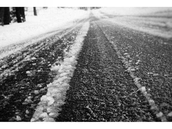
The National Weather Service also posted a Special Weather Statement for southern Connecticut urging residents to be mindful that any slush that melts during the day will freeze and is likely to lead to slippery conditions.
Find out what's happening in West Hartfordfor free with the latest updates from Patch.
WTNH News 8 Meteorologist Gil Simmons said, “A little bit of light snow possible on Saturday!” He said it will remain chilly through the end of the week. He said we should watch a potential storm for Sunday or Monday, which could lead to mixed precipitation.
NBC Connecticut Meteorologist Ryan Hanrahan said up to 2 feet of snow fell in portions of Litchfield County, about a foot near Hartford and 18 inches in Southington. But areas near the the coast saw significantly less snow, and some places only received an inch or 2.
Find out what's happening in West Hartfordfor free with the latest updates from Patch.
See related: Connecticut Snow Totals 3/14/17 Storm: Final Update
Hanrahan, in a detailed blog post, explained what went right and wrong with the forecast for Tuesday’s nor’easter. Hanrahan candidly admitted forecast projections on the shoreline, which at times predicted a foot or more of snow, were a “bust.”
He said some shoreline areas only saw an inch or 2 because the storm “passed approximately 75 miles west of where I thought it would.” But he noted that the forecast inland was completely on point.
See also: Bar Where CT Teen Died Apparently Closed
Saturday’s Snow Chance
Hanrahan said in a video chat Wednesday afternoon that it's unclear if we'll get snow this weekend. He said some models show some snow, while others show the storm passing out to the sea largely. He said more details will be known in a day or so, but as of right now there is about a 50 percent chance of an inch of snow on Saturday.
He cautioned that estimate is likely to change. But he said after a blizzard in parts of the state, Saturday’s snow chance isn’t anything to overly worry about right now.
The Ice Box Continues For a Bit
Tonight: Chance of snow showers, temps in the 20s. Feels like 15 degrees with the windchill.
Thursday: The coast hits the freezing mark while inland areas will be near 30 degrees. Temps drop to the teens inland at night and around 20 at the coast.
Friday: It’s time to hit the beach as temps will be in the upper 30s to near 40. It’s our first time above the freezing mark in awhile. Expect a bit of melting.
Saturday: Snow is likely in the morning, possibly mixing at the coast late morning or early afternoon. The precipitation could continue through the afternoon and evening. It’s likely all snow in inland areas. Temps may hit 40 on Saturday.
Get more local news delivered straight to your inbox. Sign up for free Patch newsletters and alerts.