Politics & Government
East Is Easton and West Is Weston
The Aspetuck Historic District once marked the boundary between Easton and Weston, and is home to many of the state's most historically significant homes.

The next time you’re driving from Westport to Black Rock Turnpike on Route 136, take some time to observe your surroundings. The winding roads that follow or cross the Aspetuck River are home to some of the most beautiful and historically significant in our state.
The Aspetuck Historic District was established as part of the National Register of Historic Places in 1991. Comprised of over roughly 80 acres, the district was once a farming community that originated as part of Fairfield.
As people began moving north from Fairfield, two groups settled on the east and west banks of the Aspetuck River. The west group asked to form their own parish in 1756. Approval was granted, and the westerners became part of the Norfield parish.
Find out what's happening in Weston-Redding-Eastonfor free with the latest updates from Patch.
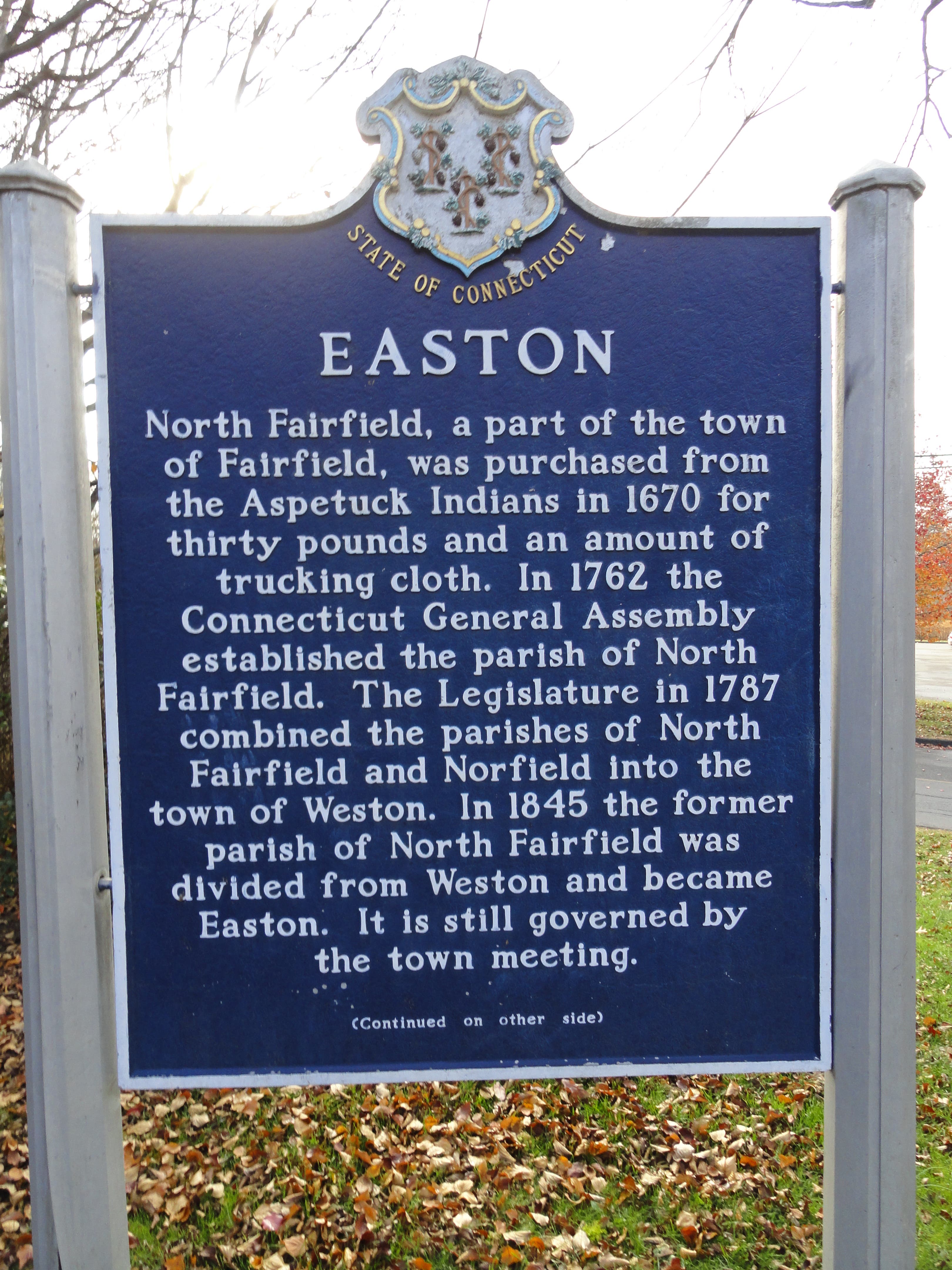
The eastern settlers also asked to form their own parish. In 1762, the north Fairfield parish was established, with the district forming the border between the two groups.
In 1787, both parishes were incorporated as the town of Weston, with Easton breaking off to form its own town in 1845.
Find out what's happening in Weston-Redding-Eastonfor free with the latest updates from Patch.
Despite the separation, each town maintained a similar existence with agriculture as the base of the economy; however, as farming declined in Connecticut toward the end of the 19th century, the soil and hilly nature of the area discouraged its younger residents from farming, and many moved away to pursue other opportunities. Easton was especially hard-hit, losing a third of its population by 1900.
While the terrain proved unsuitable for farming, it proved remarkably suitable for water supply. The Bridgeport Hydraulic Company came to Easton’s rescue when it began purchasing land and water rights in Easton for use as reservoirs. It still owns roughly 43 percent of Easton’s land.
Many farms in Easton were submerged as a result of the damming that took place, but the Aspetuck Historic District escaped that fate. According to the register, many wealthy families moved to Aspetuck corners, as the area is commonly known, by purchasing unused or struggling farms.
Gustav Pfeiffer, a dedicated philanthropist and early American architecture enthusiast, was one such resident. He lived in the Moses Dimon house at 35 Old Redding Road, and owned as many homes on the Easton side of the river in the 1930s.
Pfeiffer also owned the Orland Perry mill site and dam, located at the corner of Old Redding and Westport Roads, and upon which a small, wood frame building sits. The building was constructed circa 1935 and was used as a toy factory.
Pfeiffer’s philanthropic activities included donating to a foundation started by ; he later became a board member and convinced Keller to relocate to Easton. Keller agreed, and lived out the remainder of her years in Easton, blissfully happy, although devastated by the destruction of her home by a fire.
Pfeiffer aided in the construction of a new home for Keller, which still stands today and is located on Old Redding Road.
In addition to Pfeiffer, the architect Cameron Clark significantly affected the appearance of many homes in the early 20th century.
According to the Register, the district is significant because “it embodies the distinctive architectural and cultural landscape characteristics” of farm towns from the 18th through the 19th centuries.
The district is long, narrow and follows the Aspetuck River. Most of the homes date from the 1700s or 1800s, although the Helen Keller home was built in the 1960s. Keller’s home was included in the Registry because of her historical significance, not only to the district, but to the nation, as well.