Home & Garden
Connecticut Weather Forecast: Latest on How Much Snow and When it Will Fall
More snow is on the way and we update you with the latest forecast for the state.

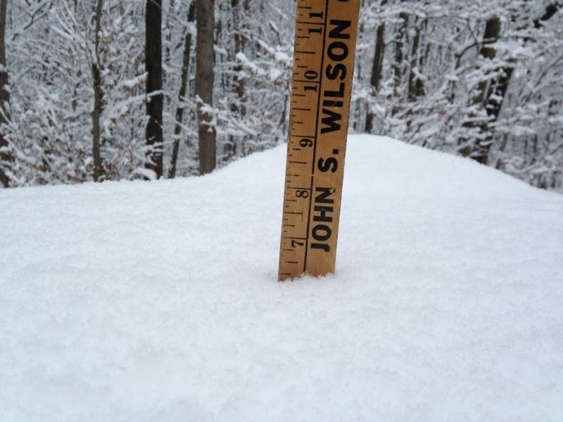
It’s definitely not going to be a lot of snow, but Connecticut’s seen quite a bit of the white stuff recently, and the entire state could see an inch to up to four inches of snow depending on where you are.
It is also likely to have an impact on the morning commute and some schools.
A “Winter Weather Advisory” remains in effect from midnight to noon Wednesday for southern Fairfield, southern New Haven, southern Middlesex, and southern New London counties.
Here snow will begin possibly just before midnight and taper off around noon. We could see 2-4 inches of snow accumulation, but the National Weather Service says some areas may only see an inch because it depends on where the snow bands end up.
For northern Fairfield, New Haven, Middlesex, and New London counties no advisories are issued, but it’s still expected to snow here too. Snow is expected to begin after midnight and end by noon with a total accumulation of around an inch to possibly two inches.
The National Weather Service has issued a “Special Weather Statement” for Hartford and Tolland counties saying scattered snow showers will develop early Wednesday morning and could produce a quick 1 to 2 inches of snowfall in a quick burst, which could lead to slippery roads in the morning.
The snow showers may linger into the early afternoon, the National Weather Service states.
Coldest Temps of the Year Coming This Weekend
This weekend will be freezing, temps will be in the teens for highs on Saturday and Sunday. At night temps will be around zero near the Connecticut coastline and below zero inland.
A warm up begins on Monday as temps will be slightly above freezing and early next week we’re back into the 40s.
Get more local news delivered straight to your inbox. Sign up for free Patch newsletters and alerts.