Community Corner
Hazardous Weather Outlook Issued for Windsor Locks, East Windsor
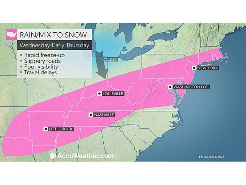
A complicated snowstorm could dump several inches of snow on the area and make Thursday morning's commute difficult.

Well, if you were planning on calling out to work Thursday based on Tuesday’s prediction, you might want to reconsider that based on the latest complicated weather forecast for Thursday’s snow, or for some of you, the lack of snow that is in the forecast now.
According to Connecticut’s leading meteorologists this could be an almost all-or-nothing snow event late Wednesday into midday Thursday. We will continue to update this.
It’s still possible that communities along the Interstate 95 corridor could receive between 3-6 inches of snow, including: southern Fairfield, southern Middlesex, southern New Haven, and southern New London counties.
Find out what's happening in Windsor Locks-East Windsorfor free with the latest updates from Patch.
The National Weather Service has issued a Winter Storm Watch for those areas listed beginning at 7 p.m. tonight. For areas more inland a couple of inches of snow is possible, but that’s still not certain.
While the National Weather Service is predicting that up to 6 inches of snow is possible for the Connecticut Shoreline, no Connecticut meteorologist is making that same prediction as of Wednesday morning.
Find out what's happening in Windsor Locks-East Windsorfor free with the latest updates from Patch.
WFSB Meteorologist Scot Haney is predicting only 2-3 inches of snow for the southern half of the state, and just 1-2 inches for the northern half of the state including Hartford and Tolland counties.
Realistically, this type of accumulation — especially after the winter we’ve had — would be classified as a dud, but the fact that the precipitation could be falling right in the middle of Thursday morning’s commute to work and school complicates things.
NBC Connecticut Meteorologist Bob Maxon predicts up to 4 inches of new accumulation is possible with the highest amounts along the I-95 corridor, less inland.
WTNH News 8’s Meteorologist Gil Simmons is predicting 2-4 inches for Connecticut and less inland. But the good news is, he writes 50s are possible by the middle of next week.
Here is the latest National Weather Service hyperlocal forecast for Windsor Locks and East Windsor:
- This Afternoon: A chance of rain, mainly after 3pm. Cloudy, with a high near 41. West wind around 7 mph. Chance of precipitation is 30%.
- Tonight: A chance of rain before 8pm, then a chance of rain and snow between 8pm and 9pm, then a chance of snow after 9pm. Patchy fog after 9pm. Otherwise, cloudy, with a low around 21. Northwest wind around 6 mph. Chance of precipitation is 50%. New snow accumulation of around an inch possible.
- Thursday: A chance of snow, mainly before 3pm. Patchy fog before noon, then Patchy fog between 1pm and 3pm. Otherwise, cloudy, with a high near 24. Northwest wind 6 to 9 mph. Chance of precipitation is 50%. New snow accumulation of 1 to 3 inches possible.
- Thursday Night: Mostly cloudy, then gradually becoming mostly clear, with a low around 6. Wind chill values as low as -2. Northwest wind around 7 mph.
Other stories on Patch:
- Milford Police: Sunday’s Double Shooting Details Emerge; Patrons Ambushed by Gunman
- Painting Causes Controversy in Trumbull, Owner Says Town is Protected
- Planned Protest Over a Milford School’s Leggings Policy Ends Quickly
Get more local news delivered straight to your inbox. Sign up for free Patch newsletters and alerts.