Community Corner
Windsor Locks, East Windsor Blizzard 2015 Storm Coverage: What You Need to Know About This Potentially Historic Snowstorm
Check this post to get all your storm related coverage for Windsor Locks and East Windsor.

This story will be updated throughout the day to bring you the latest storm-related news:
Governor Malloy Issues Travel Ban for Connecticut for Monday Evening
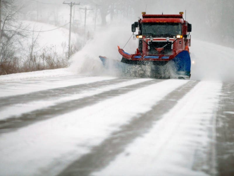
A blizzard warning remains in effect beginning from 7 p.m. tonight until 1 a.m. Wednesday, which the National Weather Service predicts could dump between 20-30 inches of snow.
Find out what's happening in Windsor Locks-East Windsorfor free with the latest updates from Patch.
The good news, if there is any, is that while snow showers begin after 2 p.m. there will be less than one inch of snow accumulation during the day today.
The evening commute home from work should be fine.
Find out what's happening in Windsor Locks-East Windsorfor free with the latest updates from Patch.
The heaviest snow and winds are expected beginning after midnight and continuing until Tuesday afternoon.
According to the National Weather Service, the heavy snow and strong winds will result in white-out blizzard conditions with near zero visibility.
“Travel will be impossible and life-threatening across the entire region,” the National Weather Service predicts. “Also snow may be wet enough to result in downed tree limbs and power outages in addition to the wind.”
Winds will be blowing between 15-25 mph with gusts of up to 45 miles per hour.
Get more local news delivered straight to your inbox. Sign up for free Patch newsletters and alerts.