Community Corner
Windsor Locks, East Windsor's Latest Weather Forecast: Slight Chance of Snow
While the upcoming conditions are chilly, the sun will make an appearance at the end of the week.

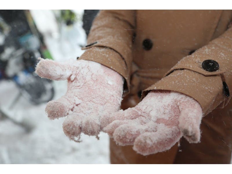
Following the treacherous icy conditions of this past weekend, the weather forecast for the rest of the week looks a little more promising.
With the number of accidents reported along with the icy weather, commuters will want to take caution Thursday morning.
While the National Weather Service has predicted a 60 percent chance of snow for parts of the state beginning late Wednesday night into Thursday morning, there is only a 20 percent chance of snow for Windsor Locks and East Windsor.
Find out what's happening in Windsor Locks-East Windsorfor free with the latest updates from Patch.
According to the NWS, the detailed forecast for the rest of the week is as follows:
- Wednesday: Increasing clouds, with a high near 33. Light northeast wind.
- Wednesday Night: Increasing clouds, with a low around 20. Light north wind.
- Thursday: A slight chance of snow showers before 8am. Cloudy, with a high near 34. Light northwest wind. Chance of precipitation is 20%.
- Thursday Night: Mostly cloudy, with a low around 18. Northwest wind 5 to 7 mph.
- Friday: Mostly sunny, with a high near 33.
- Friday Night: Partly cloudy, with a low around 20.
- Saturday: Partly sunny, with a high near 35.
- Saturday Night: Patchy fog before 3am. Otherwise, mostly cloudy, with a low around 23.
- Sunday: Mostly sunny, with a high near 32.
- Sunday Night: Partly cloudy, with a low around 16.
Find out what's happening in Windsor Locks-East Windsorfor free with the latest updates from Patch.
Get more local news delivered straight to your inbox. Sign up for free Patch newsletters and alerts.