Weather
Hurricane Irma Traffic Tips For Returning Florida Evacuees
Patch has put together helpful tips for Floridians who are heading back to the Sunshine State now that Irma has passed.

TALLAHASSEE, FL — Throngs of people hopped into their cars, trucks and SUVs ahead of Hurricane Irma to get out of the Sunshine state even if they didn't always have a good idea of the safest place to go. Now that the danger has passed, many Floridians are looking for tips on the quickest way home with the least amount of congestion. Motorists are also understandably nervous about whether they will be able to find gasoline on the trip home.
Patch reached out to the Florida Department of Highway Safety and Motor Vehicles for some tips for returning evacuees. State officials gave Patch the following list of websites that contain helpful information for returning evacuees. (For more hurricane news or local news from Florida, click here to sign up for real-time news alerts and newsletters from Miami Patch, and click here to find your local Florida Patch. If you have an iPhone, click here to get the free Patch iPhone app.):
Watch: Hurricane Irma's Destructive Journey By The Numbers
Find out what's happening in Miamifor free with the latest updates from Patch.
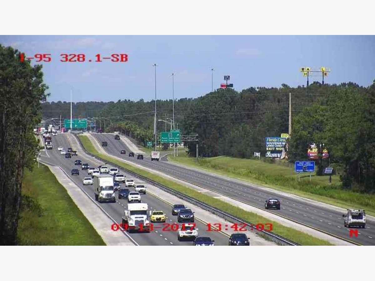
Florida 511 — This website includes regular updates on road closures and actual photographs of current road conditions. Officials say that there are a number of closures due to Hurricane Irma. You can view these on the website map by selecting "closures" in the map legend. The site also contains links to closures by region.
Find out what's happening in Miamifor free with the latest updates from Patch.
Florida Department of Highway Safety and Motor Vehicles — You'll find live traffic crash reports as well as information on road closures.
Google Maps — The folks at Google provide helpful real-time conditions on road speed and the best routes to take to your destination. Green means that traffic is moving at a normal speed.
Florida Highway Patrol Traffic Feed — Florida Highway Patrol provides live traffic crash and road conditions.
GasBuddy — You may have already heard about this website during the evacuation. Find the latest outage and fuel availability information. You can also see the prices in advance of pulling up to the pump. We recommend calling the gas station if possible to make sure that the fuel availability information is still current.
WAZE — WAZE boasts that is the world's largest community-based traffic and navigation app. Drivers in your area share real-time traffic and road info, saving everyone time and gas money.
The Department of Highway Safety and Motor Vehicles also recommended that evacuees with a valid Florida driver license or ID register their emergency contact information (ECI). This information will be shared with law enforcement officers in the event of an emergency.
On Wednesday, Florida Highway Patrol reported that it was monitoring a small bridge on I-75 at mile marker 408 which may become impassable due to heavy rainfall in the area. The bridge crosses the Santa Fe River on the northern border of Alachua County. FHP said that the Santa Fe River under I-75 has rapidly risen 15 feet over the past 36 hours.
On Thursday, FDOT said the closing would not be necessary.
“As of this morning, FDOT engineers and state meteorologists do not believe that the Santa Fe River will reach a level to make the interstate unsafe,” FDOT wrote in a Thursday morning email to media.
Patch will continue to update this article so keep checking back.
Photo of I-95 in St. Johns County courtesy Florida 511
Get more local news delivered straight to your inbox. Sign up for free Patch newsletters and alerts.