Community Corner
More Rain, Warmer Temperatures Expected For Weekend
A tropical system could form south of Florida and bring heavy rain to the beaches and minor coastal flooding Sunday or Monday, depending on its path.
It had to end.
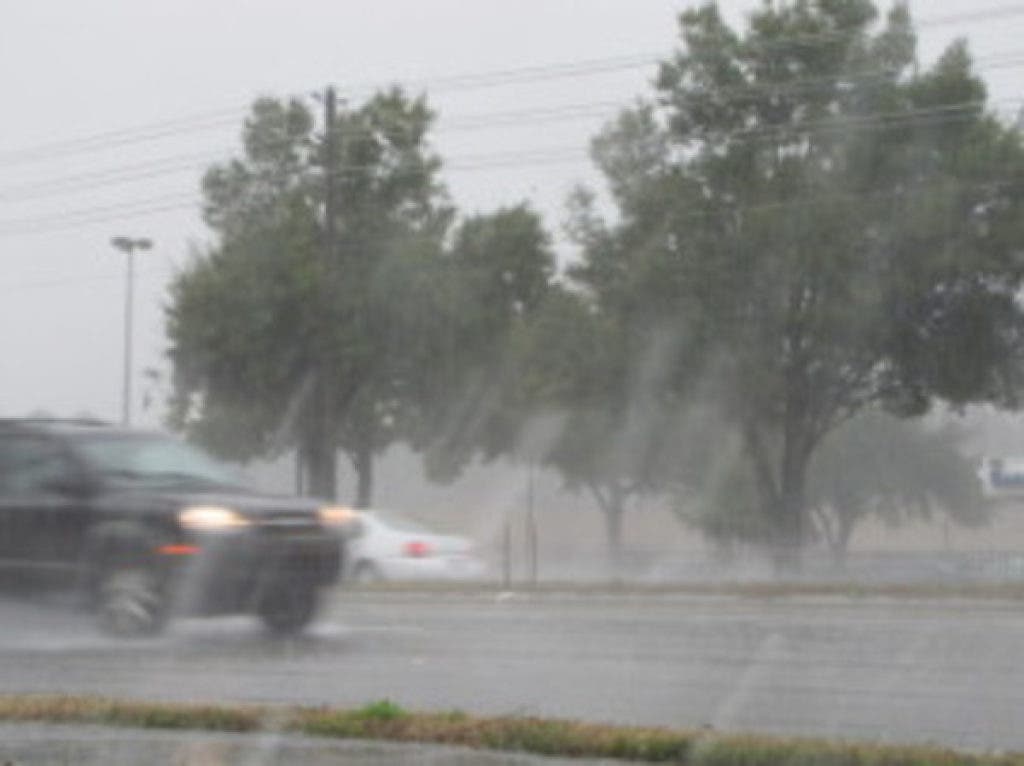
That brief gem of fall weather we saw earlier this week is about to be replaced by higher rain chances, a boost in humidity and warmer temperatures.
In other words, a weekend that would feel pretty much like summer, only not quite as hot.
Find out what's happening in Pinellas Beachesfor free with the latest updates from Patch.
And that’s if a tropical system doesn’t rear up between Cuba and Florida late Saturday and head into the Gulf of Mexico instead of venturing east of the state over the Atlantic Ocean as some forecast models predict.
A path over the Gulf could bring some heavy rain over most of west central Florida and the Tampa Bay area. Coastal areas in Pasco and Pinellas counties also might see some minor coastal flooding to close out the weekend and start the work week.
Find out what's happening in Pinellas Beachesfor free with the latest updates from Patch.
Forecasters just aren’t sure.
“There’s a lot of uncertainty," said Nicole Carlisle, National Weather Service meteorologist in Ruskin. "We might get some sort of tropical system out in the Gulf or on the other side of the peninsula.”
One major forecast model takes the tropical system into the Atlantic. Another model brings it north in the Gulf toward the Big Bend or Panhandle.
Forecasters in Ruskin are leaning toward the second model.
The system may not become a tropical storm or even an official tropical depression, but the weekend forecasts call for it to help generate some rainfall in Pasco, Hillsborough and Pinellas counties.
Rain on Friday and even Saturday could be pushed on shore from the Gulf late in the morning or early afternoon for coastal parts of Pasco and Pinellas.
Thunderstorms also are likely to form over inland areas in the afternoons when sea breezes collide. After that, the storms could emerge almost any place, Carlisle said, much like a typical summer afternoon and evening.
Not a Good Boating Weekend
Regardless of whether the tropical system forms or where it goes, high pressure to the north and low pressure south of Florida will whisk up some winds that will make boating a mess for the weekend.
By Saturday, winds could hit 25 mph over the Gulf and close to shore, the weather service said. On shore, winds along the coastal communities might reach around 20 mph with gusts close to 30 mph on Saturday.
The winds will venture inland to Land O’ Lakes and eastern Hillsborough, but gusts may be about 5 mph less for folks closer to the Gulf.
If the tropical system starts to make any trouble, it would be later in the day on Saturday, and clouds might keep temperatures down a bit that afternoon.
Still, Friday and Saturday afternoons should get into the middle to high 80s for the Tampa Bay area.
Temperatures around Land O’ Lakes and Tampa might be a degree or so lower than in the areas of New Tampa and eastern Hillsborough County, but still close to 90.
Folks closer to the coast in New Port Richey and in Pinellas County may have slightly cooler afternoons, possibly in the low 80s.
Forecasters don’t see much difference in rain chances for any place in the area if the tropical disturbance forms with rain possibilities in the 40 percent to 50 percent range Saturday and Sunday.
The computer models forecasters use aren’t clear on the path of the system or how strong it will be. It could take until Tuesday to clear the area.
The cool front that brought us the fall-like weather is to blame for the tropical system that will form where the front stalled just south of the state, Carlisle said.
During October and November, fronts that run out of steam and stop in the Gulf or Caribbean Sea can become the focal points for tropical storms to form.
“The danger of these storms is they can form so quickly and so close,” Carlisle said.
To see the full seven-day forecast for the beach area, visit the National Weather Service online.