Health & Fitness
What's The Healthiest Community In Pinellas? This Tool Tells You
Health researchers, businesses and the public can find information by ZIP code for a variety of health concerns.

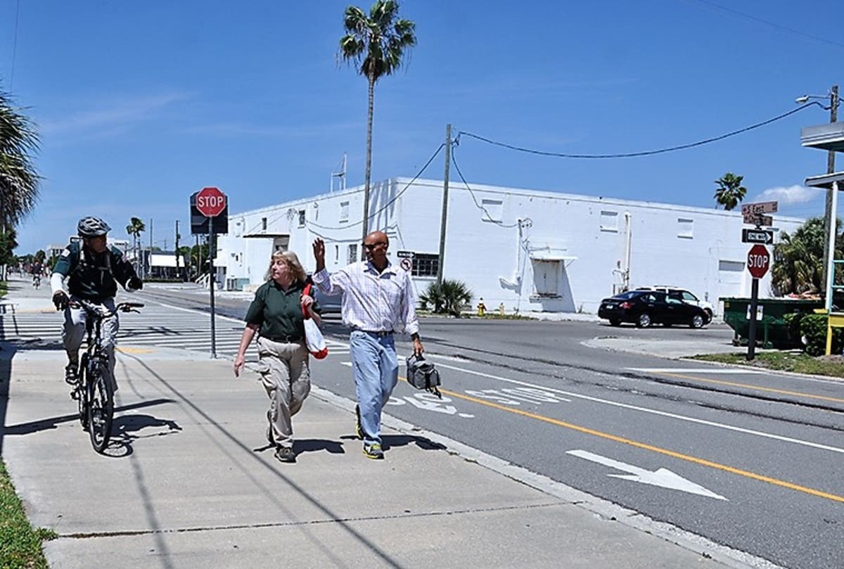

PINELLAS COUNTY, FL -- In an area of unincorporated Pinellas County near Largo Mall (ZIP code 33778), only 36 percent of people feel there are adequate crosswalks and pedestrian signals to help walkers cross busy streets in their neighborhood.
It just so happens that two of the county's busiest streets, Ulmerton Road and Seminole Boulevard, intersect there. With more than 12,000 people living within a mile of that intersection, and access to sidewalks and bike lanes being linked to physical activity (which in turn affects a person's risk of obesity-related chronic diseases like diabetes and heart disease), it's easy to see how the physical environment shapes health outcomes over the course of a lifetime.
Thanks to the new Pinellas Health Atlas, a partnership between the Florida Department of Health in Pinellas County and the Foundation for a Healthy St. Petersburg, health researchers, businesses and the public can find that information by ZIP code for a variety of health concerns.
Find out what's happening in Pinellas Beachesfor free with the latest updates from Patch.
With funding from the foundation, more than 8,000 residents throughout the county were interviewed as part of a community health assessment by the Florida Center for Community Design and Research at the University of South Florida's School of Architecture & Community Design. With just a few clicks, researchers can find information like this:
* Where are residents most likely to feel hungry? About 18 percent of those in the 33756 (south Clearwater) and 33705 (south St. Petersburg) areas reported food insecurity.
Find out what's happening in Pinellas Beachesfor free with the latest updates from Patch.
* How steep a divide is U.S.19 in north Pinellas? About 94 percent of residents in Tarpon Springs and Palm Harbor west of 19 reported feeling safe in their neighborhoods. East of U.S.19 in the 34684 area bordered by McMullen-Booth Road, the response was 56 percent.
* Asthma rates were reported higher in the 33701 (downtown St. Petersburg) and 33785 (Indian Shores) area than in other ZIP codes.
"The Atlas can be a very helpful tool to encourage more community partnerships," said Dr. Ulyee Choe, DOH-Pinellas' director. "By pinpointing where the health needs are at the ZIP code level, we can target efforts to better serve the public."
"In science, we say that a correlation does not mean causation, but it can give us clues to do more research," said Quinn Lundquist, DOH-Pinellas' planning and partnerships manager. "For example, 20 percent of residents in one ZIP code reported they'd been told by a doctor that they'd had a heart attack. One ZIP code over, just 7 percent said the same."
To access the Atlas, click here.
Indicators can be searched countywide, by address or by location. Selecting "launch the map" brings up the county with diabetes rates selected as the default. Click on the layer icon to select any of more than a dozen health indicators.
For information about DOH-Pinellas, click here.
Image via Pinellas County Health Department
Get more local news delivered straight to your inbox. Sign up for free Patch newsletters and alerts.