Politics & Government
What's Your Hurricane Evacuation Zone and Plan?
Floridians are urged to prepare as The National Hurricane Center monitors Tropical Storm Isaac. The Tampa Bay area is in the five-day cone of uncertainty.


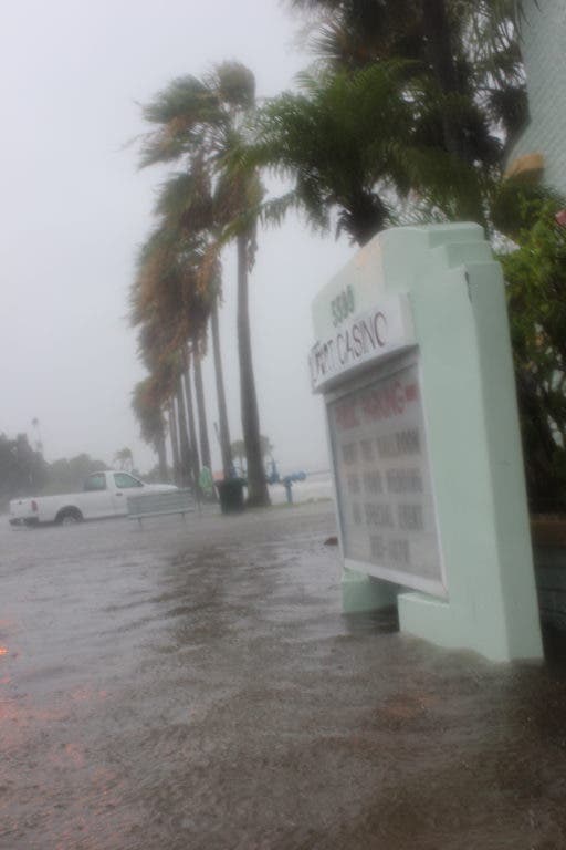
Find your evacuation zone and make a plan now. Determining your evacuation zone, nearest shelters and hotels only takes a couple of minutes with the resources from the Pinellas County Emergency Management team and website.
Pinellas County has five evacuation zones:
Find out what's happening in Pinellas Beachesfor free with the latest updates from Patch.
- A (Red) - Potential surge is 4 to 8 feet.
- B (Orange) - Potential surge is 8 to 14 feet.
- C (Yellow) - Potential surge is 14 to 19 feet.
- D (Green) - Potential surge is 19 to 26 feet.
- E (Purple) - Potential surge is 26 to 29 feet.
If you live in any of the beach communities (along Gulf Boulevard or across the bridges), you are in zone A.
If you don't live on the beach, to find out what evacuation zone you live in, enter your address on the Pinellas County Emergency Management website. Print the results if you can. It may even be wise to email the results to family or friends living nearby or out of state. This may help if you lose or misplace the list during an evacuation.
Find out what's happening in Pinellas Beachesfor free with the latest updates from Patch.
If you are unable to look up your zone online, call the Pinellas County's automated system at 727-453-3150 and type in your home phone number, or call the Pinellas County Emergency Management Department at 727-464-3800 and speak with someone over the phone between 7:30 a.m. and 4:30 p.m. Monday through Friday.
Example Address:
The Madeira Beach City Hall is located at 300 Municipal Drive, Madeira Beach. When the address is entered in the Pinellas County's "Know Your Zone" website, the results are:
Evacuation Zone 1
Closest Hurricane Shelters: Bauder Elementary School, Boca Ciega High School, Pinellas Park High School
Closest Special Needs Shelters: John Hopkins Middle School, Oak Grove Middle School and Dunedin Highland Middle School
Closest Accommodations: Penisula Inn and Spa, Wingate by Wyndham of Clearwater and Country Inn and Suites
Mobile/Manufactured Homes
People living in a mobile home must evacuate, even if they are not located in an evacuation zone.
Emergency Shelters
There are 32 shelters in Pinellas County. Not all of them are special needs or pet friendly. Check out the complete list on the Pinellas County Emergency Management's website to plan ahead if you need a specialized shelter.
Evacuation Route
We have attached the evacuation route provided by the Pinellas County Emergency Management Department to print. All evacuation routes from the beaches will have you taking the nearest bridge and then heading to I-275.
All of the information has been provided by the Pinellas County Emergency Management Department. For more information, download and print the 2012 Hurricane Guide.
Join Pinellas County EM on Twitter. Pinellas County government is also on Facebook, Twitter and YouTube.
Get more local news delivered straight to your inbox. Sign up for free Patch newsletters and alerts.