Home & Garden
'Excessive Cold' Expected in Tampa Bay Area
Freezing temperatures are possible in some parts of the region heading into Wednesday morning while strong storms will cap off the week.

TAMPA, FL — Residents in some parts of Tampa Bay might want to brace for an even colder start to the morning Wednesday.
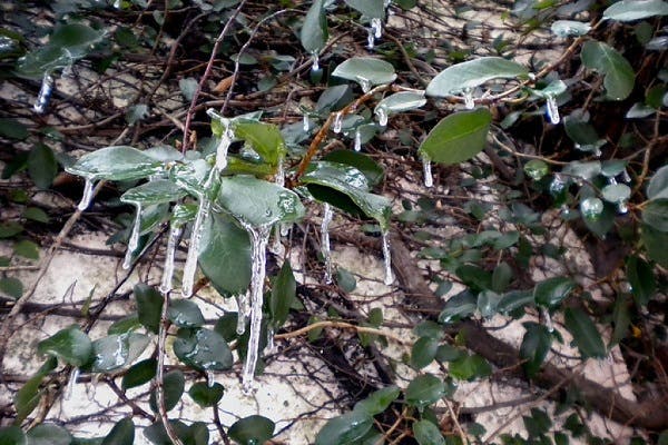
The National Weather Service is anticipating overnight lows Tuesday to drop into the freezing range north of the Interstate 4 corridor with chilly conditions also anticipated to its south, as well. As of Tuesday morning, forecasters expected temperatures to drop into the low to mid-30s during the overnight hours in most of the region, warning of the potential for “excessive cold,” in the day’s Hazardous Weather Outlook report. Wednesday is expected to kick off with patchy frost on the ground in some areas, followed by a high in the low to mid-60s. The overnight low is anticipated to fall into the upper 40s.
Counties throughout the Tampa Bay area have announced they are opening cold weather shelters Tuesday night. Residents without shelter or adequate heat should check with their local county governments for information on shelter hours and locations for Tuesday night and into Wednesday morning.
Find out what's happening in Tampafor free with the latest updates from Patch.
While Tuesday and Wednesday are expected to be brisk, Thursday is forecast to be a bright, sunny day with a high in the low 70s. Overnight conditions will turn mostly cloudy with a low in the upper 50s.
Friday brings an 80 percent chance of storms and thunderstorms and an anticipated high around 71 degrees in much of the region. Those storms, forecasters warned in Tuesday’s Hazardous Weather Outlook report, could prove to be strong. As of Tuesday morning, however, forecasters said “it is currently too early to determine if severe weather will be a threat from any of these thunderstorms.”
Find out what's happening in Tampafor free with the latest updates from Patch.
The strong cold front that’s moving in on Friday is also expected to bring another blast of frigid air to the region. “The potential exists for another round of freezing temperatures Saturday night and into Sunday morning across the Nature Coast,” the agency warned.
For an extended forecast for your neighborhood, visit your local Patch’s homepage. For weather updates, sign up for your local Patch’s newsletter and breaking alerts.
Patch file photo
Get more local news delivered straight to your inbox. Sign up for free Patch newsletters and alerts.