Community Corner
Foggy Conditions Return for the Workweek
Forecasters are warning of fog potential during the evening and early morning hours most of the week.

While a warmer, sunnier start to the workweek is expected, forecasters are warning Tampa Bay area residents to exercise caution on local roads as fog is once again anticipated to be a part of the picture.
According to the National Weather Service, the workweek kicks off with highs in the low 80s and lows in the 60s on both Monday and Tuesday. Fog, however, is anticipated to roll in during the overnight hours both days.
“Patchy areas of fog will result in reduced (visibility) during the late night and early morning hours from Tuesday through Thursday,” the service wrote in its Hazardous Weather Outlook report Monday. Patchy sea fog may also cause problems for boaters Tuesday night through Thursday morning.
Find out what's happening in Tampafor free with the latest updates from Patch.
As of Monday morning, forecasters anticipated highs around 80 and lows in the 60s on both Wednesday and Thursday.
Rain doesn’t officially make its way back into the forecast until Friday when isolated thunderstorms and scattered showers are possible. The high that day is anticipated to only reach the lower 70s in most parts of the Bay.
Find out what's happening in Tampafor free with the latest updates from Patch.
Keep in mind, Tampa Bay’s weather can turn on a dime. Stay with Patch for the latest developments.
For a complete look at Tampa Bay area weather, visit the National Weather Service online.
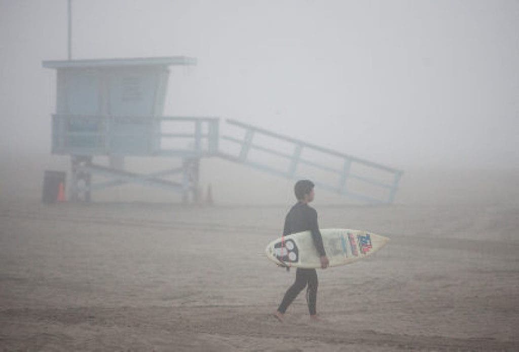
Patch file photo
Keep up with what’s happening around town and the state by signing up for your favorite Patch daily newsletter: Bloomingdale-Riverview, Bradenton, Brandon, Carrollwood-Northdale, Clearwater, Dunedin, East Lake, Gulfport, Land O’ Lakes, Largo, Lutz, New Port Richey, New Tampa, Palm Harbor, Pinellas Beaches, Safety Harbor, Sarasota, Seminole Heights, South Tampa-Hyde Park, St. Pete, Tarpon Springs, Temple Terrace, Westchase.
Get more local news delivered straight to your inbox. Sign up for free Patch newsletters and alerts.