Weather
Hazardous Weather Alert Remains In Effect For South, Central FL
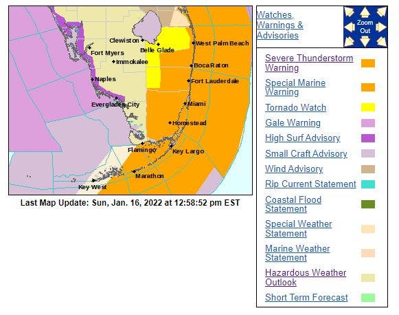
The National Weather Service issued a hazardous weather outlook for West Central and Southwest Florida for Sunday.

FLORIDA — The National Weather Service issued a hazardous weather outlook for West Central and Southwest Florida for Sunday.
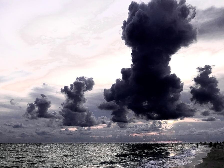
Thunderstorms moved onshore through the morning, bringing isolated tornadoes, strong gusty winds and ground lightning to areas in Southwest Florida including Lee and Collier counties.
The thunderstorms are expected to clear in the afternoon, in time for the playoff game between the Tampa Bay Buccaneers and Philly Eagles at Raymond James Stadium.
Find out what's happening in Tampafor free with the latest updates from Patch.
The NWS says the hazardous weather Sunday will impact Sumter, Pinellas, Polk, Hardee, DeSoto, Levy, Citrus, Hernando, Pasco, Hillsborough, Manatee, Sarasota, Charlotte, Lee, Citrus, Hardee, along with Charlotte Harbor and Pine Island Sound.
This could bring coastal flooding, rip currents and small-craft boating risks through Monday.
Find out what's happening in Tampafor free with the latest updates from Patch.
Get more local news delivered straight to your inbox. Sign up for free Patch newsletters and alerts.