Home & Garden
Rain, Cooler Temperatures Moving Into Tampa Bay
The break in heat is expected to last for a few days.

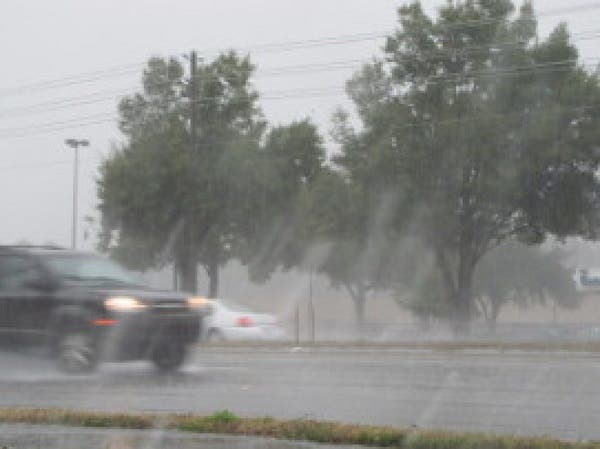
Tampa Bay area residents might want to keep their umbrellas handy over the next few days.
Forecasters at the National Weather Service anticipate storms to move into the area Wednesday afternoon and to stick around for a few days at least. Wednesday’s high is expected to climb to about 81 degrees in much of the region. Rain chances move into the picture in the afternoon hours and are expected to increase overnight. An evening low of about 69 degrees is anticipated.
Thursday arrives with a 30 percent chance of showers in store throughout much of the region. On the upside, the high that day is expected to only reach about 73 degrees with an overnight low near 60. Friday should bring slightly warmer temperatures, but rain chances rise to about 40 percent during the daytime hours.
Find out what's happening in Tampafor free with the latest updates from Patch.
Rain chances remain in the picture moving into the weekend as do slightly higher temperatures. The high on Saturday should be around 77 degrees. Sunday’s high will climb again to around 80.
While showers are likely Wednesday through Saturday, forecasters do not anticipate severe conditions.
Find out what's happening in Tampafor free with the latest updates from Patch.
For an extended forecast in your neighborhood, visit your local Patch’s homepage.
Patch file photo
Get more local news delivered straight to your inbox. Sign up for free Patch newsletters and alerts.