Weather
Severe Thunderstorms Detected On Radar Headed Toward Tampa Bay
Strong thunderstorms will impact portions of Citrus, Sumter, Pasco, Hernando, northwestern Pinellas, Polk and Hillsborough counties.

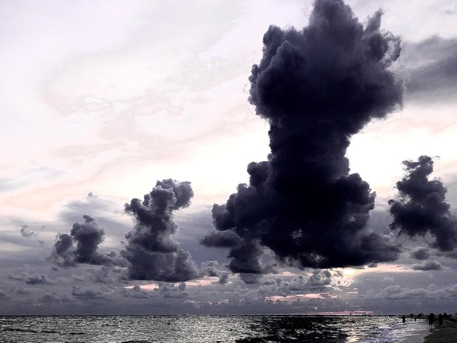
TAMPA BAY, FL — Strong thunderstorms will impact portions of Citrus, Sumter, Pasco, Hernando, northwestern Pinellas, northwestern Polk and northwestern Hillsborough counties through 2 p.m. Thursday, according to the National Weather Service.
At 12:29 p.m., Doppler radar was tracking strong thunderstorms along a line extending from 7 miles northeast of Beverly Hills to 7 miles west of Beacon Square. Movement was northeast at 40 mph.
The storms are carrying wind gusts of 50 to 55 mph, which could knock down tree limbs and blow around unsecured objects.
Find out what's happening in Tampafor free with the latest updates from Patch.
Locations impacted include Tampa, Spring Hill, Clearwater, New Port Richey, Zephyrhills, Brooksville, Inverness, Wildwood, Dade City, Bushnell, Hudson, Beverly Hills, Holiday, Homosassa Springs, Lutz, St. Leo, Weeki Wachee, Palm Harbor, New Port Richey East and South Brooksville.
Earlier Thursday, the NWS issued a tornado watch until 5 p.m. for counties throughout Florida, including Tampa Bay.
Find out what's happening in Tampafor free with the latest updates from Patch.
The tornado watch is in effect for Hillsborough, Pasco, Pinellas, Polk, Sarasota, Manatee, Hernando, Highlands, Alachua, Baker, Bradford, Charlotte, Citrus, Clay, Columbia, DeSoto, Dixie, Duval, Flagler, Gilchrist, Hamilton, Hardee, Lee, Levy, Marion, Nassau, Putnam, St. Johns, Sumter, Suwanee, Taylor, Union and Volusia counties.
There is a possibility of severe thunderstorms on Thursday before 8 p.m. with west-southwest winds of 20 to 23 mph and gusts as high as 32 mph. thunderstorm.
A tornado watch means tornadoes are possible and residents should be prepared. Weather conditions favor thunderstorms capable of producing tornadoes.
Be ready to act quickly if a warning is issued or you suspect a tornado is approaching. Review and discuss your emergency plans and check supplies and your safe room.
Additionally, a high surf advisory has been issued and is in effect until 11 p.m. Saturday.
A high rip current risk has been issued for all Tampa Bay beaches. It remains in effect from 10 a.m. Thursday through Sunday afternoon.
And a high surf advisory is in effect from 3 p.m. Thursday to 11 p.m. Saturday.
Beware of large, breaking waves building to 4 to 8 feet later Thursday through Saturday, bringing dangerous rip currents in Pinellas, Hillsborough, Manatee, Sarasota, Charlotte and Lee counties.
The National Weather Service said conditions will be dangerous for swimming and surfing. Rip current can sweep even the best swimmers away from shore into deeper water.
There may also be localized beach erosion.
Stay tuned to Patch for weather updates.
Get more local news delivered straight to your inbox. Sign up for free Patch newsletters and alerts.