Weather
Wind Chill, Hazardous Weather Warnings Go Up For Tampa Bay Area
The National Weather Service has issued a wind chill advisory, a high surf advisory and a rip current statement for the Tampa Bay region.

TAMPA, FL — As a strong cold front moves into the Tampa Bay area Saturday, weather forecasters at the National Weather Service are warning residents of the potential for hazardous conditions.
The agency has issued a wind chill advisory, a high surf advisory and a rip current statement for the region. Temperatures in the Tampa Bay area are expected to plummet overnight from a high of 80 degrees Saturday to a low around 37. A north wind will bring wind chill values as low as 30 early Sunday.
Temperatures will rebound on Sunday with a high near 70.
Find out what's happening in Tampafor free with the latest updates from Patch.
These weather warnings have been issued for the Bay area:
Wind chill advisory:
Find out what's happening in Tampafor free with the latest updates from Patch.
A wind chill advisory is in effect from 1 to 10 a.m. Sunday with very cold wind chills expected that could make it feel like 25 degrees.
The advisory is for portions of southwest and west central Florida.
Communities in the advisory include: Pinellas, Polk, Pasco, Hillsborough, Manatee, Sarasota, St. Petersburg, Clearwater, Largo, Lakeland, Winter Haven, Sebring, Port Richey, Tampa, Westchase, Bradenton, Anna Maria Island, Venice, Captiva, Sanibel, Spring Hill, Zephyrhills, Brandon, Plant City, and Fort Myers.
The weather service said hypothermia can occur if precautions are not taken. Make sure you wear a hat and gloves.
Hazardous Weather Statement:
West central and southwest Florida are affected Saturday and overnight.
Thunderstorms are expected across the area Saturday that will be capable of producing strong gusty winds, isolated tornadoes, small hail, locally heavy rains, and frequent deadly lightning strikes.
Atmospheric conditions will be favorable for waterspouts to develop. Mariners should be on the lookout for waterspouts.
Gusty winds behind the cold front will bring wind speeds up to gale force over the Gulf waters Saturday, creating hazardous boating conditions for small craft operators through Sunday afternoon.
"Freezing temperatures are expected for a prolonged period of time. Make sure to dress in layers to protect yourself from the cold," the Weather Service said.
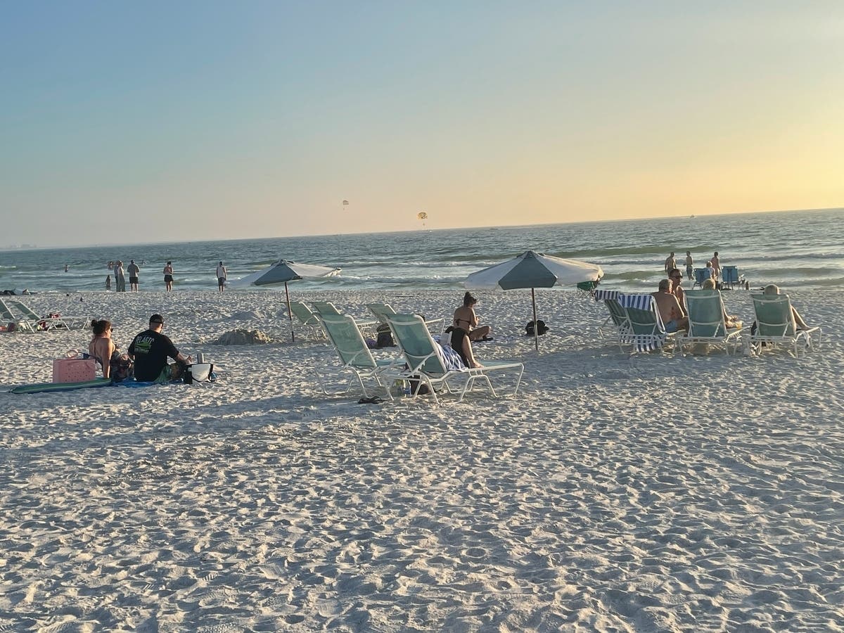
High surf will produce rip currents along area beaches.
High surf advisory: The advisory is in place from 7 a.m. Saturday to 2 p.m. Sunday.
Large breaking waves of 4 to 6 feet are probably and dangerous rip currents are expected in Pinellas, coastal Hillsborough, coastal Manatee, coastal Sarasota, coastal Charlotte and coastal Lee counties.
The high rip current risk is from Saturday morning through Sunday afternoon.
Dangerous swimming and surfing conditions and localized beach erosion are possible. Rip currents can sweep even the best swimmers away from shore into deeper water.
Inexperienced swimmers should remain out of the water due to dangerous surf conditions.
Swim near a lifeguard. If caught in a rip current, relax and float. Don`t swim against the current. If able, swim in a direction following the shoreline. If unable to escape, face the shore and call or wave for help.
Get more local news delivered straight to your inbox. Sign up for free Patch newsletters and alerts.