Keep those umbrellas handy and take care on Tampa Bay area roads. Forecasters at the National Weather Service are anticipating a wet start to the workweek.
The forecast calls for a 50 percent chance of scattered showers in most parts of the Bay area Monday afternoon and into the evening hours. Those chances rise to about 80 percent Tuesday and linger on Wednesday.
While storms are likely Monday, they aren’t expected to cool things down too much as the workweek kicks off. Forecasters anticipate a high in the upper 80s and a low in the mid-70s. By Tuesday, however, temperatures are expected to cool a bit, down to the lower 80s with overnight lows in the low 70s both Tuesday and Wednesday.
Find out what's happening in Tampafor free with the latest updates from Patch.
Storms begin to move out of the forecast Thursday with a mostly cloudy day on tap. Temperatures are expected to only reach the upper 70s to low 80s with an overnight low in the mid-60s. Friday brings mostly sunny conditions with a high around 80 anticipated.
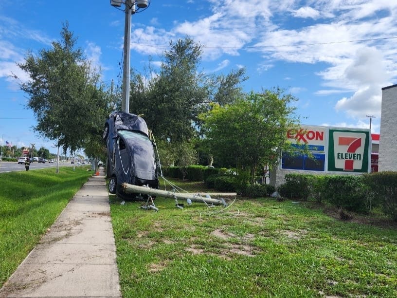
Thunderstorms that make their way through the Bay during the earlier part of the week have the potential to be strong. Forecasters warn of the possibility of strong, gusty winds, locally heavy rain and frequent lightning strikes.
Find out what's happening in Tampafor free with the latest updates from Patch.
For a complete look at the weather in your neighborhood, visit the National Weather Service online.
Image via Shutterstock
See Also:
Keep up with what’s happening around town and the state by signing up for your favorite Patch daily newsletter: Bloomingdale-Riverview, Bradenton, Brandon, Carrollwood-Northdale, Clearwater, Dunedin, East Lake, Gulfport, Land O’ Lakes, Largo, Lutz, New Port Richey, New Tampa, Palm Harbor, Pinellas Beaches, Safety Harbor, Sarasota, Seminole Heights, South Tampa-Hyde Park, St. Pete, Tarpon Springs, Temple Terrace, Westchase.
Get more local news delivered straight to your inbox. Sign up for free Patch newsletters and alerts.