Politics & Government
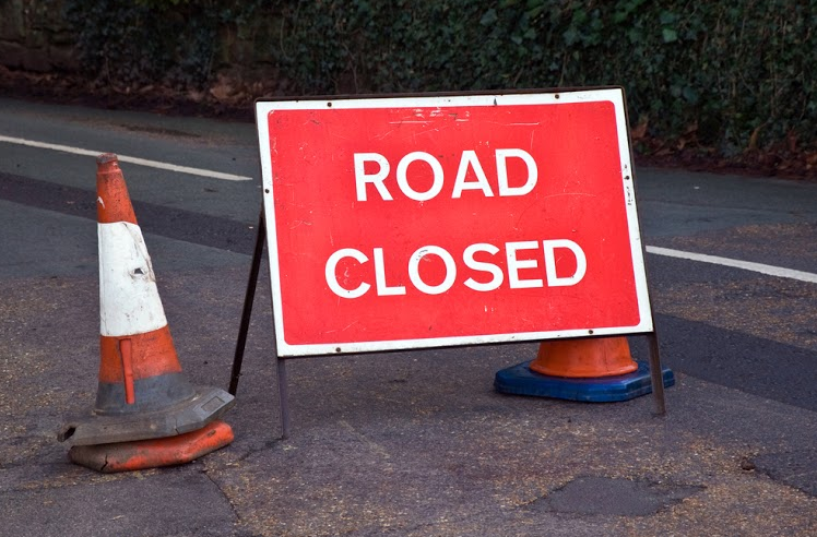
Lane, Road Closures Planned for Sandy Springs Circle
The closures are related to the City Center construction project, and will occur Sept. 12-13.

---
Motorists who use Sandy Springs Circle as part of their travel route will need to plan alternate routes next weekend.
Find out what's happening in Sandy Springsfor free with the latest updates from Patch.
A lane closure will take place Saturday, Sept. 12, and an actual road closure will be implemented on Sunday, Sept. 13, the city of Sandy Springs said on Thursday.
The closures are needed to allow Georgia Power to install a conduit that will be utilized for underground utilities in relation to the City Center construction project.
Find out what's happening in Sandy Springsfor free with the latest updates from Patch.
Beginning at 6 a.m. Saturday, Sept. 12, only one lane will be open on Sandy Springs Circle between Johnson Ferry Road and the driveway to the Springs Landing Shopping Center until about 11 p.m. for motorists coming from the Johnson Ferry Road side of Sandy Springs Circle.
Northbound lanes of Sandy Springs Circle will be closed at Mt. Vernon Highway (no through traffic to Johnson Ferry Road), but access to the Springs Landing Shopping Center will be allowed.
Georgia Power will shift the available single lane during the work period. Shoppers leaving the center will only be able to take a right turn exiting the center to go south towards Mt. Vernon Highway. Customers of the Fidelity Bank on Sandy Springs Circle will be restricted to a left turn only exit onto Sandy Springs Circle on Saturday.
Late Saturday evening, all lanes will close on Sandy Springs Circle from Johnson Ferry Road to the driveway at the Springs Landing Shopping Center. Access to the shopping center will be available from Mt. Vernon Highway. Those lanes will remain closed throughout Sunday, Sept. 13 as the road is repaired. The entire road is expected to reopen Sunday evening, barring any unforeseen problems with construction.
Barricades, detour signage and flagmen will be in place, and motorists are asked to follow the posted detour. Closure maps are located on the city’s newsroom website.
---
Image via Shutterstock
Get more local news delivered straight to your inbox. Sign up for free Patch newsletters and alerts.