Weather
More Snow Saturday, Sunny Sunday Before Major Storm Hits Chicago Area
A major snowstorm may be approaching the Chicago area next week, just in time for a white Christmas.

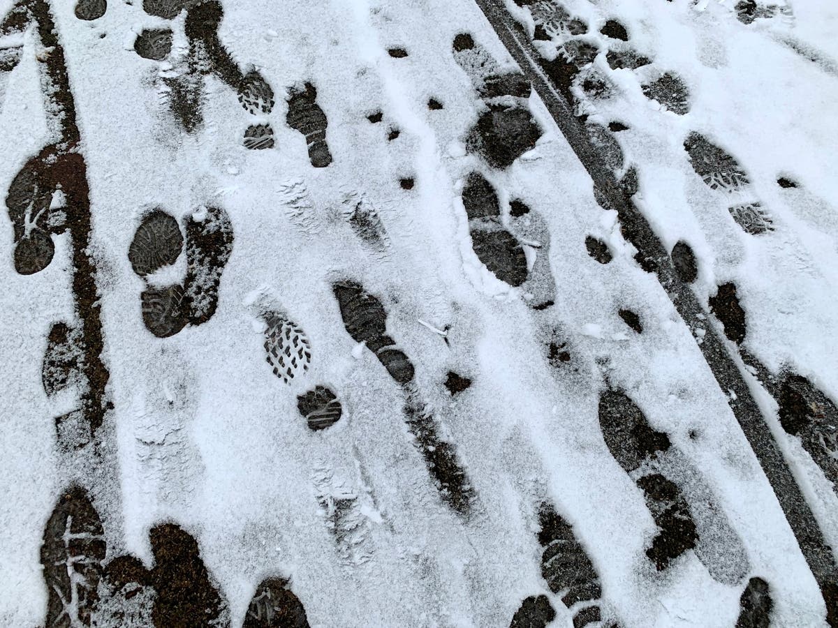
ILLINOIS — Snow showers are expected to continue into Saturday, as temperatures remain fairly steady around 30 degrees for the weekend.
According to the National Weather Service, snow showers and flurries will continue through Friday evening into Saturday. The next round of widespread snow showers is expected from 7 to 10 p.m. Friday for the Chicago metro, the weather service said.
Sharp drops of visibility, with wind gusts up to 35 mph, are possible. Slippery travel conditions could also occur, and there is a threat for black ice on untreated roads, the weather service said.
Find out what's happening in Across Illinoisfor free with the latest updates from Patch.

Snow showers will continue Saturday, but they won't be as widespread. The high for Saturday is 30 degrees, and the high for Sunday is 29, according to the weather service.
Snow is not expected on Sunday, and Chicagoans could even see some sun for the first time in a few days.
Find out what's happening in Across Illinoisfor free with the latest updates from Patch.
However, clouds and a chance of snow return on Monday. The weather service said confidence is also increasing in subfreezing temperatures through next week.
AccuWeather meteorologists said chances are increasing for a major storm with snow over the central United States in the days before Christmas.
The private forecast gave a "poor" travel outlook for the entire state of Illinois for Thursday of next week.
Related: Best, Worst Times To Get Out Of IL For Christmas, New Year's Travel
Get more local news delivered straight to your inbox. Sign up for free Patch newsletters and alerts.