Weather
‘White-Out Conditions’ Possible As Winter Storm Watch Issued For IL
Winds could be as high as 55 mph, with wind chills as low as 25 below zero.


ILLINOIS — A winter storm watch has now been issued for the entire Chicago area, as well as other parts of Illinois, as a major winter storm approaches in the days before Christmas.
The National Weather Service has issued the watch for Winnebago, Boone, McHenry, Lake, Ogle, Lee, DeKalb, Kane, DuPage, La Salle, Kendall, Grundy, Kankakee, Livingston, Iroquois, Ford, Cook and Will counties, in effect from Thursday evening through late Friday.
Find out what's happening in Across Illinoisfor free with the latest updates from Patch.
Blizzard Before Christmas? Major Snow Could Hit IL
Blizzard conditions are possible with this storm, which will also include gusts up to 55 mph and bitterly cold wind chills, according to the weather service.
Find out what's happening in Across Illinoisfor free with the latest updates from Patch.
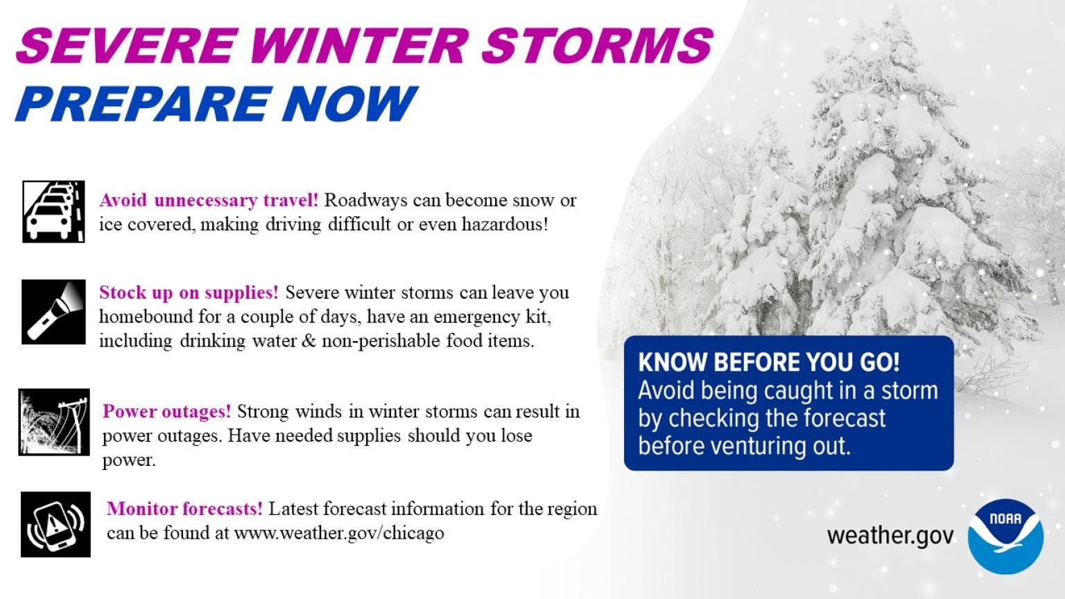
Falling and blowing snow could result in "white-out conditions" with zero visibility at times, the weather service said. This would make travel difficult, if not impossible.
Power outages may also be possible as a result of the winds.
Wind chills could be as low as 25 below zero during the height of the snow. The weather service said those low wind chills could cause frostbite on exposed skin in 30 minutes.
The exact track of the storm is not yet known, nor is exact snow amounts. However, there is high confidence in the dangerous cold, strong winds and blowing snow.
Get more local news delivered straight to your inbox. Sign up for free Patch newsletters and alerts.