Weather
Airplanes Likely Caused More Snowfall In Chicago: Report
According to several meteorologists, planes landing in Chicago likely contributed to a bigger dump of snow on Tuesday.

CHICAGO — Evidence shows that airplanes flying over Chicago on Tuesday likely caused more intense snow to fall over the city, according to several reports. Planes that fly from the west make a loop over Lake Michigan before landing at O'Hare, a route that can be viewed with flight tracking, according to a report by meteorologist Chris Dolce.
The planes' routes matched Doppler weather radar "echoes" that indicate higher precipitation, such as rain or snow, Dolce explained.
The National Weather Service in Grand Rapids, Michigan, said the airplanes flew through "water-laden" clouds in below-freezing temperatures, and caused ice crystals to form, according to Dolce's report.
Find out what's happening in Chicagofor free with the latest updates from Patch.
Low-pressure areas are located along the planes' propellers and wings that allow the air to expand and cool far below the cloud layer's original temperature, Dolce said.
The weather phenomenon is called "inadvertent cloud seeding."
Find out what's happening in Chicagofor free with the latest updates from Patch.
When the planes pass through clouds and create the phenomenon, "Hole-punch" clouds (also known as canal clouds) form. A satellite image of a Hole-punch cloud was taken Tuesday morning, offering further evidence, Dolce said.
Consistent with today's approach into ORD from aircraft arriving from the west. pic.twitter.com/JD83cuDV0W
— Walker Ashley (@WalkerSAshley) November 27, 2018
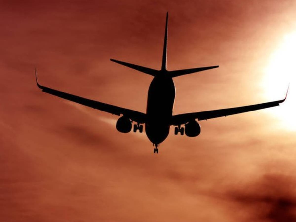
Image via Shutterstock.
Get more local news delivered straight to your inbox. Sign up for free Patch newsletters and alerts.

