Weather
Winter Storm Warning Issued for Chicago Area
Up to 11 inches of snow is now expected for portions of the Chicago area. The snow should start Saturday afternoon.

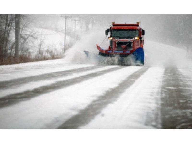
A winter storm is expected to hit the Chicago area starting this afternoon and will continue through Sunday night, bringing up to 11 inches of snow for portions of northern Illinois.
A winter storm warning has been issued for counties throughout the Chicago area, including Will, DuPage, Lake, Cook, McHenry and Kane counties, according to the National Weather Service. The warning will take effect at 3 p.m. Saturday and continue through midnight on Sunday. The snowfall is expected to start falling in the far western suburbs around 3 p.m. and should hit Chicago by 5 p.m.
The heaviest snow is expected to occur Saturday evening and night and continue into Sunday morning, weather officials said Saturday morning.
Find out what's happening in Chicagofor free with the latest updates from Patch.
Snowfall totals of 7 to 11 inches are now expected for towns north of Interstate 88 by Sunday evening. South of I-88 to the I-80 corridor is expected to get between 5 to 9 inches. South of Interstate 80 should see 3 to 6 inches, according to the National Weather Service.
The northern suburbs, including towns closest to the Wisconsin border, are expected to see the most snow, according to ABC 7 Chicago. Towns further south and near the Interstate 80 corridor are expected to see lower snowfall totals, according to the National Weather Service.
Find out what's happening in Chicagofor free with the latest updates from Patch.

Following this weekend’s snow, a blast of cold air is expected to hit again next week. Temps in the lower 20s are in the forecast for Tuesday and then will drop into the teens on Wednesday.
Here is a more detailed look at the forecast for the coming days.
- SATURDAY: Cloudy. A 50 percent chance of snow in the afternoon. Highs in the lower 20s. Southwest winds 10 to 15 mph.
- SATURDAY NIGHT: Snow. Snow accumulation of 3 to 5 inches. Lows in the lower 20s. South winds 10 to 15 mph. Chance of precipitation 100 percent.
- SUNDAY: Snow in the morning...then snow or rain in the afternoon. Snow accumulation of 2 to 4 inches. Total snow accumulation 5 to 9 inches. Highs in the mid 30s. South winds 10 to 15 mph inland...but south 15 to 25 mph near the lake. Near the lake...gusts up to 30 mph in the morning. Chance of precipitation 80 percent.
- SUNDAY NIGHT: Cloudy. Light snow or light rain likely in the evening. Lows in the mid 20s. Then temperatures becoming steady or slowly rising. Southwest winds 10 to 15 mph in the evening becoming west 10 to 20 mph after midnight. Chance of precipitation 60 percent.
- MONDAY: Partly cloudy. Highs in the mid 20s. West winds 10 to 15 mph.
- MONDAY NIGHT: Partly cloudy. Lows 13 to 17.
- TUESDAY: Partly sunny. Highs 14 to 18
- TUESDAY NIGHT: Mostly cloudy. Lows 3 to 7 above in the suburbs...but 7 to 11 above downtown.
- WEDNESDAY: Mostly cloudy with a 30 percent chance of light snow showers. Highs 11 to 15.
- WEDNESDAY NIGHT: Partly cloudy. Lows 1 below to 3 above zero.
Get more local news delivered straight to your inbox. Sign up for free Patch newsletters and alerts.

