Community Corner
'Citizen Scientists' Sought To Measure Grays Lake Water Level
The NASA-funded Lake Observations by Citizen Scientists & Satellites project needs help taking measurements at the local lake.


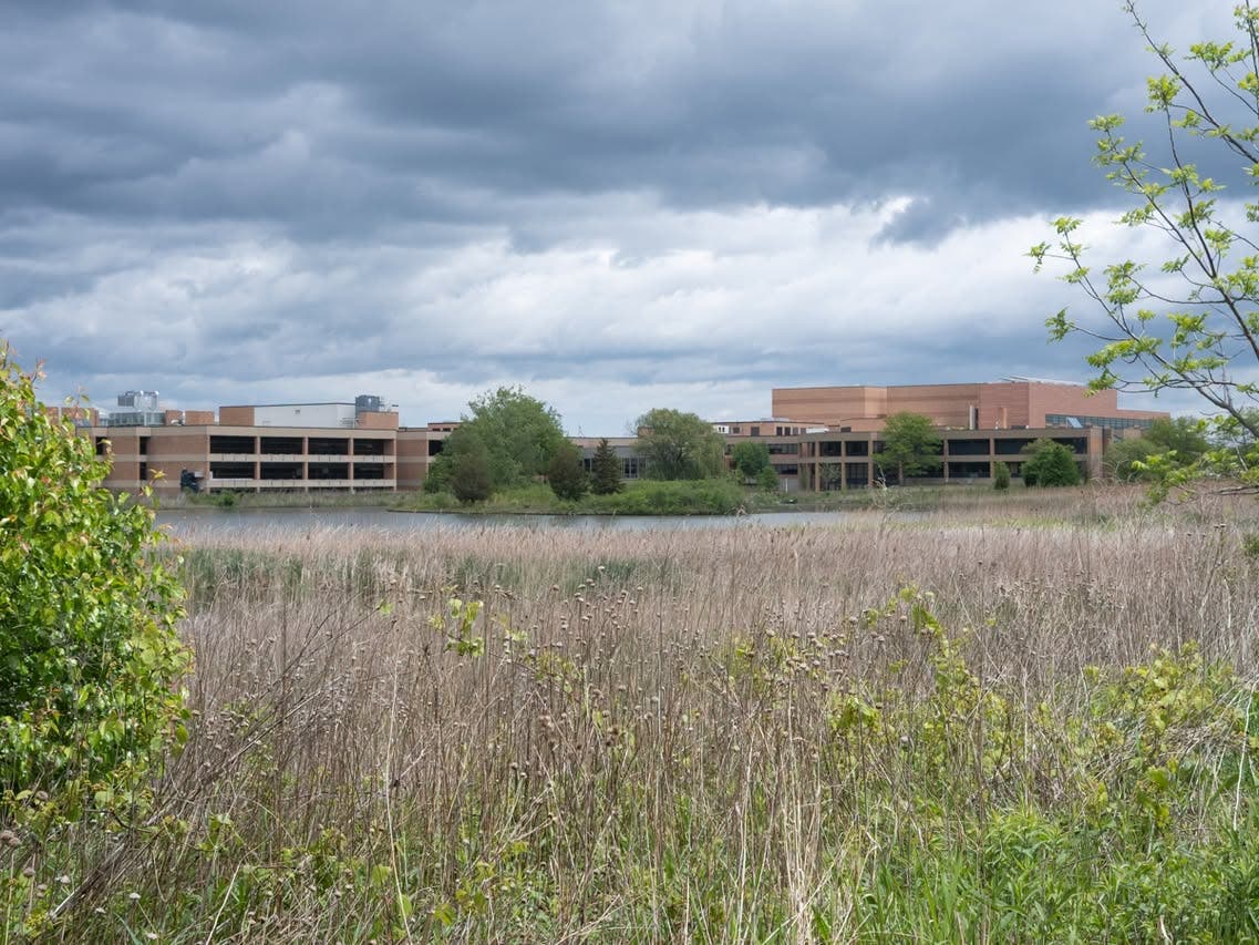
GRAYSLAKE, IL —The Grayslake Park District is looking for "citizen scientists" to help measure the water level in Grays Lake as part of the Lake Observations by Citizen Scientists & Satellites project. The LOCSS project is a NASA-funded project, which combines citizen science with satellite data as a way to try and understand how the volume of water in lakes is changing over time, according to information posted on the park district's website.
The project is part of a partnership between the University of North Carolina, University of Washington and Tennessee Technological University, which works with local partners to study lakes. By 2021, LOCSS will be studying more than 200 lakes in the United States, Europe and Asia, according to the park district.
There are hundreds of thousands of natural lakes in the world, but probably only a few thousand of those are monitored.
Find out what's happening in Grayslakefor free with the latest updates from Patch.
"This project presents an opportunity to harness the power of volunteers & satellites to gather data that a single research team would be unable to obtain. In particular, we want to know whether the lakes are all changing together on a regional scale — so if the water volume in one goes up, the volume in another goes up — or are they being controlled by more local factors," according to the park district website.
With that in mind, park district officials are asking for help from local residents. But, how can you become a citizen scientist?
Find out what's happening in Grayslakefor free with the latest updates from Patch.
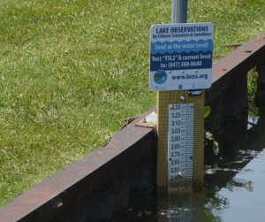
The LOCSS team has provided a lake gauge, which is similar to a ruler, that was installed in Grays Lake at Jones Island Park along the north channel. A citizen scientist or passerby can read the level of the water against the gauge and report it by text message to a phone number posted on the sign. That measurement is then added to the LOCSS database and displayed publicly on the project website, www.locss.org
The LOCSS team then pairs those lake height measurements with lake surface area measurements calculated using satellite imagery to determine if the volume of water in the lake is changing.
If you are interested in becoming a volunteer citizen scientist, or are a lake manager and would like more information, e-mail lakelevel@unc.edu.
More information is available on the LOCSS website.
Get more local news delivered straight to your inbox. Sign up for free Patch newsletters and alerts.