Weather
Chance Of Snow, Rain Likely For Start Of Week: Illinois Weather
Snow is possible Thursday night, and temps will cool down to the 40s later in the week.


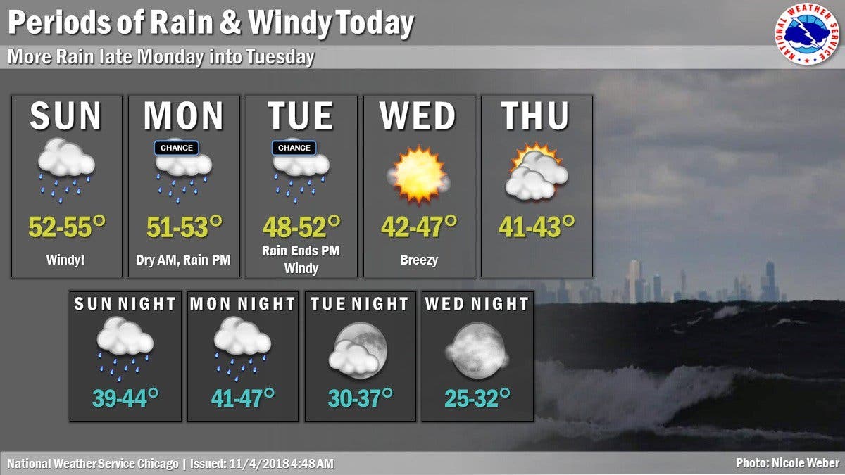
Some of Illinois may see some snowfall this week, but before that rain will start off the work week on Monday and Tuesday. Temps will start in the 50s at the start of the week before dropping down to 47 degrees on Wednesday, and 43 degrees on Thursday, according to the National Weather Service.
There is a chance of rain starting Thursday night, which could turn to rain and snow between 8 and 11 p.m., the NWS said. Then, there's a chance of snow after 11 p.m.
Friday will be dry, but the coldest day of the week with a high of 38 degrees.
Find out what's happening in Lemontfor free with the latest updates from Patch.
Here is a more detailed look at your weather this week:
- MONDAY: A 40 percent chance of rain after noon. Mostly cloudy, with a high near 52. Southwest wind around 10 mph becoming southeast in the afternoon.
- MONDAY NIGHT: Rain. Low around 45. Southeast wind 5 to 10 mph becoming west southwest after midnight. Chance of precipitation is 90%.
- TUESDAY: A 50 percent chance of rain. Cloudy, with a high near 49. West wind 5 to 15 mph, with gusts as high as 30 mph.
- TUESDAY NIGHT: Mostly cloudy, with a low around 33.
- WEDNESDAY: Mostly sunny, with a high near 44.
- WEDNESDAY NIGHT: Mostly clear, with a low around 29.
- THURSDAY: Partly sunny, with a high near 42.
- THURSDAY NIGHT: A chance of rain before 8 p.m., then a chance of rain and snow between 8pm and 11pm, then a chance of snow after 11 p.m. Mostly cloudy, with a low around 27.
- FRIDAY: Partly sunny, with a high near 38.
- FRIDAY NIGHT: Mostly cloudy, with a low around 22.
Find out what's happening in Lemontfor free with the latest updates from Patch.
Get more local news delivered straight to your inbox. Sign up for free Patch newsletters and alerts.

