Business & Tech
Rand McNally Releases 2016 Motor Carriers' Road Atlas
Newest version includes updates to maps and state-specific roadway contacts.

Rand McNally, the popular travel atlas maker with headquarters in Skokie, released the 2016 version of the Motor Carriers’ Road Atlas on Wednesday - according to The Auto Channel and other reports.
“The Motor Carriers’ Road Atlas continues to be the trusted reference and essential back-up for commercial drivers,” said Stephen Fletcher, CEO of Rand McNally. “Even in this day of electronic in-cab navigation, the large printed format is the best tool to see the big picture and quickly access state and province restrictions.”
The Rand McNally Motor Carriers’ Road Atlas has been updated and released annually since the first 1982 edition. The newest edition includes: Updated U.S. state and Canadian province maps; Revised “designated” highways showing the latest truck roadways as specified by the Surface Transportation Assistance Act (STAA); Updated restricted routes, low clearances, and weigh station locations; A 22-page mileage directory with more than 40,000 truck-route-specific, city-to-city mileages; A review of Hazardous Materials Regulations; And fully updated state and province charts including more than 500 changes to truck-specific state contacts – such as operating authority contacts, emergency police, and vehicle registration. A section also includes road construction hotlines.
Find out what's happening in Skokiefor free with the latest updates from Patch.
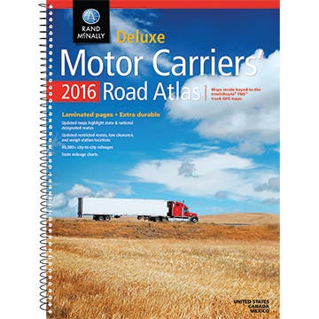
The atlas is available in paperback; in a spiral-bound, laminated Deluxe version; and a Large Scale edition with maps.
Get more local news delivered straight to your inbox. Sign up for free Patch newsletters and alerts.