Weather
White Christmas Could Be Coming To Illinois
Snow on Christmas Eve means there could be a chance for a white Christmas in Illinois.

A chance of snow on Christmas Eve could mean some suburbs will see a white Christmas. On Sunday, according to the National Weather Service, there's a chance of snow starting around daybreak to mid-afternoon. The southern suburbs will see a higher chance of snow than the northern suburbs, and accumulations could be trace amounts to up to 2 inches.
Snow remains possible for some areas on Sunday. Stay tuned. #ilwx #inwx #canwegetawhiteChristmas pic.twitter.com/i9A8VqovMcColder temperatures will also return this weekend, and the high on Christmas Day is only 29 degrees. The beginning of the weekend will also be chillier, with temps between 27 and 36 degrees on Saturday, and 24 and 28 degrees on Sunday, according to the National Weather Service.
— NWS Chicago (@NWSChicago) December 22, 2017
Light rain and drizzle ending. Patchy freezing drizzle psbl across north central IL. Some snow Sunday, then colder Christmas. #ilwx #inwx pic.twitter.com/CzB7If48vG
— NWS Chicago (@NWSChicago) December 22, 2017
Here's a more detailed look at your forecast:
Find out what's happening in Wheatonfor free with the latest updates from Patch.
- FRIDAY NIGHT: Mostly cloudy, with a low around 26. North northwest wind around 5 mph.
- SATURDAY: Partly sunny, with a high near 32. Northwest wind 5 to 10 mph.
- SATURDAY NIGHT: Mostly cloudy, with a low around 18. North northwest wind around 5 mph.
- SUNDAY: A 30 percent chance of snow, mainly before noon. Mostly cloudy, with a high near 26. West northwest wind 5 to 10 mph.
- SUNDAY NIGHT: Partly cloudy, with a low around 16.
- CHRISTMAS DAY: Partly sunny, with a high near 27.
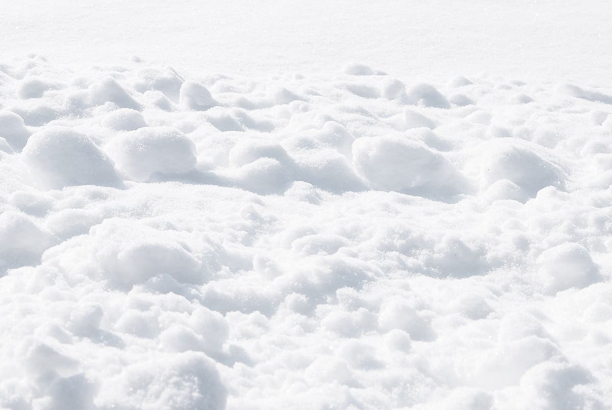
Image via Shutterstock.
Get more local news delivered straight to your inbox. Sign up for free Patch newsletters and alerts.