Community Corner
Will the Warm Weekend Stick Around?
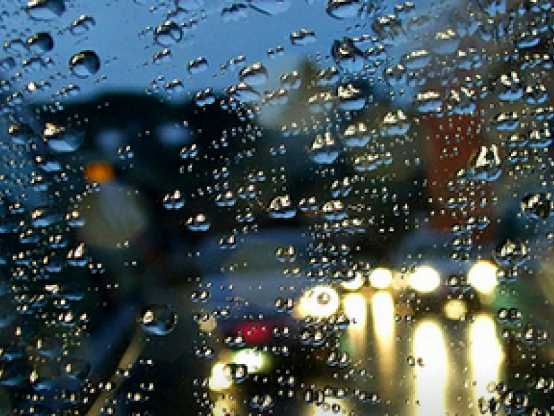
Iowa's mild winter continues with a warm, rainy Monday. Temperatures should then drop throughout the week.

After an unusual winter weekend that nearly set records for warmth, Iowans can plan on one more mild day of drizzles before the temperatures drop back to normal figures.
According to the National Weather Service, tonight’s low will be an unheard of 47 degrees, accompanied by patchy fog and a 80-percent chance of light rain.
The forecast for the week:
Find out what's happening in Cedar Fallsfor free with the latest updates from Patch.
- Monday- High of 52 with an 90-percent chance of off-and-on rain that could turn to sleet and/or snow as temperatures dip toward an overnight low of 28.
- Tuesday - High of 30, low of 16. Breezy with no precipitation expected.
- Wednesday - High near 25, low around 15.
- Thursday thru Sunday - temperatures remaining similar, no precipitation expected at this time.
We hope you got your outdoor fix in this weekend because it’s back to reality this week!
See the latest forecast for your area from the National Weather Service here.
Find out what's happening in Cedar Fallsfor free with the latest updates from Patch.
Get more local news delivered straight to your inbox. Sign up for free Patch newsletters and alerts.