Politics & Government
Johnston Waterways Not Predicted to Reach Flood Stage as Saylorville Lake Fills Up
While some trails in the Johnston area have closed because of rising water, city officials said that Beaver Creek and the Des Moines River are not expected to hit flood stage.

While the National Weather Service is predicting a rainy week along with the possibility of flooding, Beaver Creek and the Des Moines River are not predicted to reach flood stage, city officials said.
However, some area trails have been affected.
Find out what's happening in Johnstonfor free with the latest updates from Patch.
The Johnston Parks Department says the Beaver Creek Trail running under Merle Hay Road south of Crown Point will be closed because of water. There is also water near the bridge on the Urbandale trail, which has caused the Johnston side of the bridge to be closed.
LINK UP WITH PATCH: Like us on Facebook . Follow us on Twitter. Sign up for Johnston's free newsletter.
Find out what's happening in Johnstonfor free with the latest updates from Patch.
National Weather Service forecaster Kurt Kotenberg told KCCI.com that 3 to 6 inches of rain is expected across Iowa this week after 6 to 8 inches of rain fell in the past few days. Kotenberg said the ground simply can't absorb more water so flash flooding will remain a concern across Iowa.
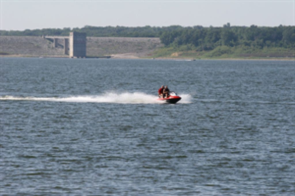
Officials told KCCI that Saylorville Lake could rise 35 feet by June 5. It's up about 3 feet in 24 hours as millions of gallons of floodwater pours into the lake.
"The water is actually coming up pretty fast," Brian Nail, who works at the lake, told the TV station. "We have our crews out today closing down our beaches, closing our lower elevation recreation areas, taking out signs, buoy lines in anticipation of this high water."
At midday Tuesday the water level at Saylorville Lake was about normal at 837 feet above sea level. But in the next 10 days, the lake level is expected to jump to 879 feet above sea level, the TV station reported.
The release from Saylorville is not anticipated to have a significant impact on the Johnston waterways, the city said.
Should there be a change in the predicted levels, the city will update its website to keep residents informed.
Additional information regarding water levels in the area is available through the National Weather Service’s Advanced Hydrologic Prediction Service.
Get more local news delivered straight to your inbox. Sign up for free Patch newsletters and alerts.