Community Corner
This Week in West Des Moines Weather: Rain, Thunderstorms, and Guess What Else?
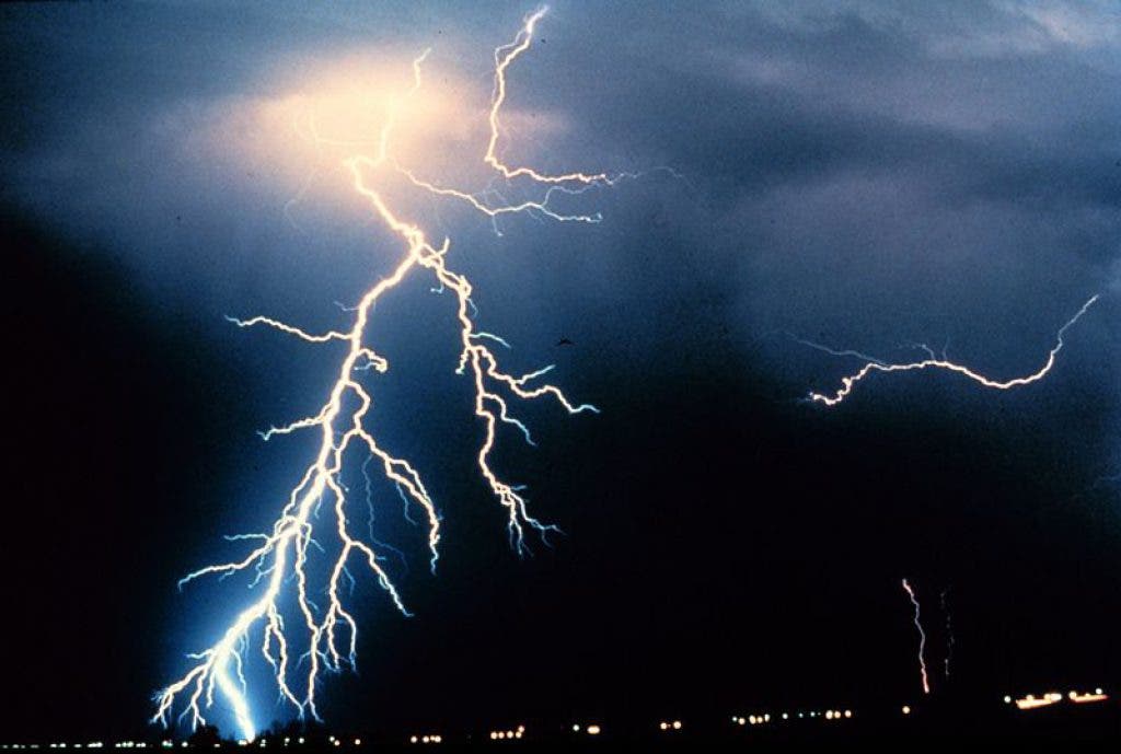
There is a good chance for rain and thunderstorms in the West Des Moines area for the start of our work week, and even a few flakes of snow could drop in town when temperatures drop later this week.

Enjoy those mid-70s and sunshine today, Urbandale.
The National Weather Service in Des Moines is predicting a chance of rain and potential thunderstorms going into the overnight hours tonight through Tuesday night in the Urbandale area.
Help us embrace today's sunshine, West Des Moines. Did you snap a photo while you were enjoying today's weather? Share it by uploading it to our Pics & Clips gallery.
Find out what's happening in West Des Moinesfor free with the latest updates from Patch.
Monday Night: Showers and thunderstorms. Low around 55. East southeast wind 7 to 11 mph. Chance of precipitation is 80%. New rainfall amounts between a quarter and half of an inch possible.
Tuesday: Showers and thunderstorms likely, mainly after 1pm. Cloudy, with a high near 63. Southeast wind 6 to 11 mph becoming light south southeast in the afternoon. Chance of precipitation is 60%. New rainfall amounts between a half and three quarters of an inch possible.
Find out what's happening in West Des Moinesfor free with the latest updates from Patch.
The chance of rain continues into Wednesday and Thursday, where dropping temperatures may cause a rain and snow mix. I am going to pretend I just didn't see that.
Weather Underground's 10-day weather forecast has a similar picture, with the temperature dropping to a high in the mid forties by Thursday, then oscillating between the forties and the fifties. We could make it back to the mid-60s by Sunday.
Here's WHOTV's take:
There is still a lot of moisture in the atmosphere and that will lead to another round of rain and thunderstorms overnight tonight. Storms are expected to fire after 11 PM tonight in southern Iowa and push north through early Tuesday morning. Another half inch of rain will fall. There will be a break mid-day again on Tuesday with more showers and storms again Tuesday night. Some storms may become strong to severe with the primary threat being hail and strong winds. Week long totals for rain look to range from 1 to 2".
Wednesday, the weather starts to change with temperatures dropping and a cold rain. By early Thursday morning, there may even be a rain snow mix that falls across Central Iowa.
Stay dry out there, everyone.
Get more local news delivered straight to your inbox. Sign up for free Patch newsletters and alerts.