Weather
Flood Watch Issued As Warm Weather Returns To Maryland
Cold is moving out of the state and highs in the 50s will bring rain and an alert for much of Maryland from the National Weather Service.

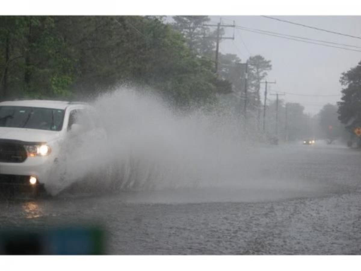
BALTIMORE, MD — After days of frigid overnight lows, warm air is moving into Maryland, pushing the overnight temperature into the 50s and bringing with it the possibility of heavy rain and flooding. The National Weather Service has issued a flood watch for parts of Maryland, D.C. and Virginia. The watch is in effect from 4 a.m. Thursday until 3 p.m. Thursday, Jan. 24.
The heaviest rain is expected overnight and Thursday morning, with rainfall totals from 1 to 1.5 inches expected; locally higher amounts around 2 inches are possible, the weather service said. Runoff from a nearly frozen ground and saturated soils could cause streams and creeks to rise out of their banks, as well as potential flooding in low lying urban areas.
Areas included in the flood watch are: Washington, D.C., Baltimore, and parts of Carroll, Baltimore, Prince George's, Anne Arundel, Charles, Montgomery, Howard, and Harford counties. These cities are also in the watch area: Eldersburg, Westminster, Reisterstown, Cockeysville, Baltimore, Bowie, Suitland-Silver Hill, Clinton, College Park, Greenbelt, Laurel, Camp Springs, Glen Burnie, Annapolis, Severn, South Gate, Severna Park, Arnold, Odenton, St. Charles, Waldorf, Germantown, Damascus, Bethesda, Rockville, Gaithersburg, Silver Spring, Lisbon, Columbia, Ellicott City, Jarrettsville, and Aberdeen.
Find out what's happening in Annapolisfor free with the latest updates from Patch.
A flood watch means there is a potential for flooding based on current forecasts. Residents should be alert for possible flood warnings. Those living in areas prone to flooding should be prepared to take action should flooding develop.

Here's the latest Maryland forecast from the National Weather Service:
Find out what's happening in Annapolisfor free with the latest updates from Patch.
Wednesday: A slight chance of rain after 2pm. Cloudy, with a high near 42. South wind 9 to 13 mph, with gusts as high as 21 mph. Chance of precipitation is 20%.
Wednesday Night: Rain, mainly after 8pm. Temperature rising to around 51 by 5am. South wind 9 to 15 mph, with gusts as high as 21 mph. Chance of precipitation is 100%. New precipitation amounts between a half and three quarters of an inch possible.
Thursday: Rain before 2pm, then a chance of showers after 2pm. The rain could be heavy at times. Temperature falling to around 43 by 5pm. South wind 8 to 18 mph becoming northwest in the morning. Winds could gust as high as 24 mph. Chance of precipitation is 100%. New precipitation amounts between a half and three quarters of an inch possible.
Thursday Night: Partly cloudy, with a low around 29. Northwest wind 5 to 15 mph, with gusts as high as 21 mph.
Friday: A slight chance of snow showers between 8am and 4pm. Sunny, with a high near 35. West wind 6 to 13 mph, with gusts as high as 23 mph. Chance of precipitation is 20%.
Friday Night: Partly cloudy, with a low around 22.
Saturday: Mostly sunny, with a high near 33.
Saturday Night: Mostly cloudy, with a low around 26.
Sunday: Partly sunny, with a high near 42.
Sunday Night: Mostly cloudy, with a low around 28.
(For more news like this, find your local Patch here. If you have an iPhone, click here to get the free Patch iPhone app; download the free Patch Android app here. And like Patch on Facebook!)
Image via Shutterstock, graphic by National Weather Service
Get more local news delivered straight to your inbox. Sign up for free Patch newsletters and alerts.