Weather
Hurricane Florence: Annapolis Sandbag Handouts Under Way
Annapolis residents and business owners can pick up sandbags Sept. 12 as the city braces for flooding from Hurricane Florence.

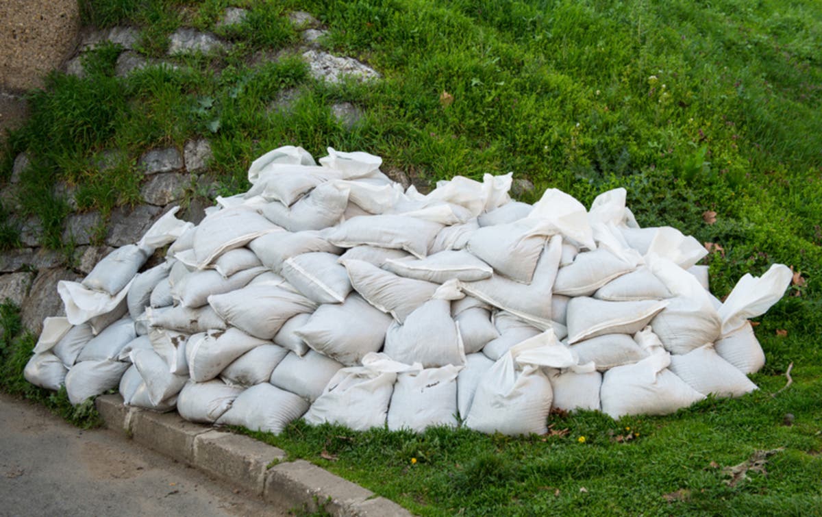
ANNAPOLIS, MD — Residents showed up before dawn Wednesday to get sandbags as Hurricane Florence is expected to bring heavy rains and fooding to coastal Maryland, something Annapolis has already experienced. The city of Annapolis began sandbag distribution for residents and businesses at 6 a.m. and it will continue until 6 p.m., or while supplies last, on Sept. 12. The supplies are being distributed near the Truxtun Park pool, 251 Pump House Road.
Proof of Annapolis City residency or business ownership is needed to receive sandbags. Residents and business owners will be expected to fill their own sandbags. Sandbags will be limited to 10 per person.
Crews from Annapolis Department of Public Works will be on hand with shovels to help residents fill bags. A full bag weighs about 20 to 25 pounds. For residents who cannot lift heavy bags, DPW crews will help fill a manageable amount in the bag.
Find out what's happening in Annapolisfor free with the latest updates from Patch.
Coca Cola Consolidated Bottling Company on Riva Road sent 25 volunteers before 6 a.m. to Truxtun Pool to help citizens fill and load sand bags to help protect their homes from expected flooding, the city said on Facebook.
SEE ALSO: Hurricane Florence MD Update: Evacuation Zones, Flooding Fears
Find out what's happening in Annapolisfor free with the latest updates from Patch.
Maryland residents have been urged to study the state's new evacuation zones map in case they have to leave areas that could be swamped by Hurricane Florence when it hits the Mid-Atlantic late this week. Officials urged residents to check the evacuation zone maps drawn by the Maryland Emergency Management Agency so they know if their area is included in any orders.
The cities of Baltimore, Annapolis, and Ocean City, along with Anne Arundel, Baltimore, Caroline, Calvert, Cecil, Charles, Dorchester, Harford, Kent, Prince George's, Queen Anne's, Somerset, St. Mary's, Talbot, Wicomico and Worcester counties, are part of the zones. Check addresses and find more information at KnowYourZoneMd.com.
The Category 4 storm has winds that diminished slightly overnight to 130 miles per hour, but they should gain strength as Florence heads toward Virginia and North Carolina, and the hurricane could create "historic, catastrophic, and life-threatening flooding in Maryland," said Gov. Larry Hogan as he declared a state of emergency.
Dangerous storm surges from the system are likely, along with prolonged rainfall as the storm moves inland, and residents are being told to closely monitor the forecast.
Hurricane watches and storm surge watches are up Tuesday for the Carolinas to the Virginia border, with high winds and rising water expected in the next 48 hours. "Florence is expected to be an extremely dangerous major hurricane through Thursday night," the National Hurricane Center said Tuesday morning.
Forecasts call for torrential rains, tropical storm force winds, and tidal flooding/storm surge to affect the state beginning as early as Thursday, the governor's office said, while landfall in the Carolinas is expected at 2 a.m. Friday. "While some weakening is expected on Thursday, Florence is expected to be an extremely dangerous major hurricane through landfall," the NHC said.
"The threat is increasing for potentially extreme and life-threatening flooding and other impacts for our region as Florence approaches later this week and through the weekend. Now is the time to prepare," the National Weather Service for Baltimore/Washington said.
Image via Shutterstock
Get more local news delivered straight to your inbox. Sign up for free Patch newsletters and alerts.