Home & Garden
Maryland's Bumpy Weather Forecast: When Will Storms Return?
More heavy rains and strong winds are headed to Maryland, but the weekend should be perfect. Here's the latest forecast.


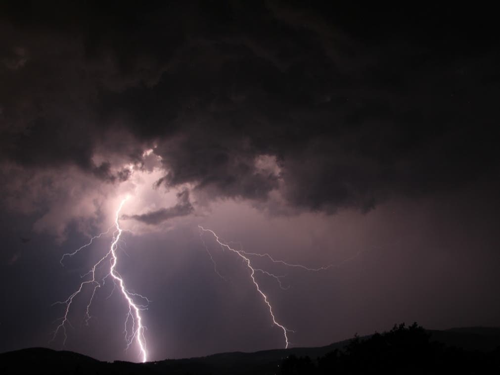
We’ve got today to dry out and clean up from Tuesday’s waves of thunderstorms – which included a tornado that downed trees in Howard County – before Maryland is smacked by more strong weather.
The chance for heavy rain Thursday may mean localized flooding issues, and watches and warnings may be posted, according to the National Weather Service. A hazardous weather outlook has been issued for central Maryland, Washington, D.C., and Northern Virginia through Thursday.
Forecasters say numerous showers and scattered thunderstorms are expected after midnight. Some storms will be capable of producing damaging winds. Heavy rainfall may lead to localized flash flooding toward morning. Thursday expect more showers and scattered thunderstorms that could bring damaging wind gusts and large hail. And heavy rains will again pose a danger of flash flooding.
Find out what's happening in Annapolisfor free with the latest updates from Patch.
Areas affected include: Washington, D.C., plus Baltimore, Prince George’s, Anne Arundel, Calvert and Harford counties.
But, the weekend will be perfect with sunny skies and highs in the mid-80s both days.
Find out what's happening in Annapolisfor free with the latest updates from Patch.
The latest forecast from the National Weather Service:
Today: Sunny, with a high near 87. West wind 13 to 17 mph, with gusts as high as 26 mph.
Tonight: Showers and thunderstorms likely, mainly after 2am. Increasing clouds, with a low around 71. Chance of precipitation is 60%. New rainfall amounts between a tenth and quarter of an inch, except higher amounts possible in thunderstorms.
Thursday: Showers and thunderstorms likely. Some of the storms could produce gusty winds and heavy rain. Mostly cloudy, with a high near 86. South wind 6 to 15 mph, with gusts as high as 24 mph. Chance of precipitation is 70%. New rainfall amounts between a quarter and half of an inch possible.
Thursday Night: A slight chance of showers and thunderstorms. Mostly cloudy, with a low around 66. Northwest wind 8 to 10 mph becoming north after midnight. Chance of precipitation is 20%.
Friday: Mostly sunny, with a high near 82. Northeast wind around 7 mph.
Friday Night: Mostly clear, with a low around 64.
Saturday: Sunny, with a high near 85.
Saturday Night: Mostly clear, with a low around 64.
Sunday: Sunny, with a high near 86.
Get more local news delivered straight to your inbox. Sign up for free Patch newsletters and alerts.