Weather
Flash Flood Watch Issued For 8 Maryland Counties, 2 Cities
BREAKING: Flash flooding may occur across the region, the National Weather Service advises.

BALTIMORE, MD - The National Weather Service has issued a flash flood watch for parts of Maryland until 3 a.m. on Monday, July 24. A flash flood warning was also issued until 8 p.m. on Sunday, July 23, for Harford County.
A flash flood watch means conditions may cause a rapid rise in water level, particularly in low-lying areas and those with poor drainage.
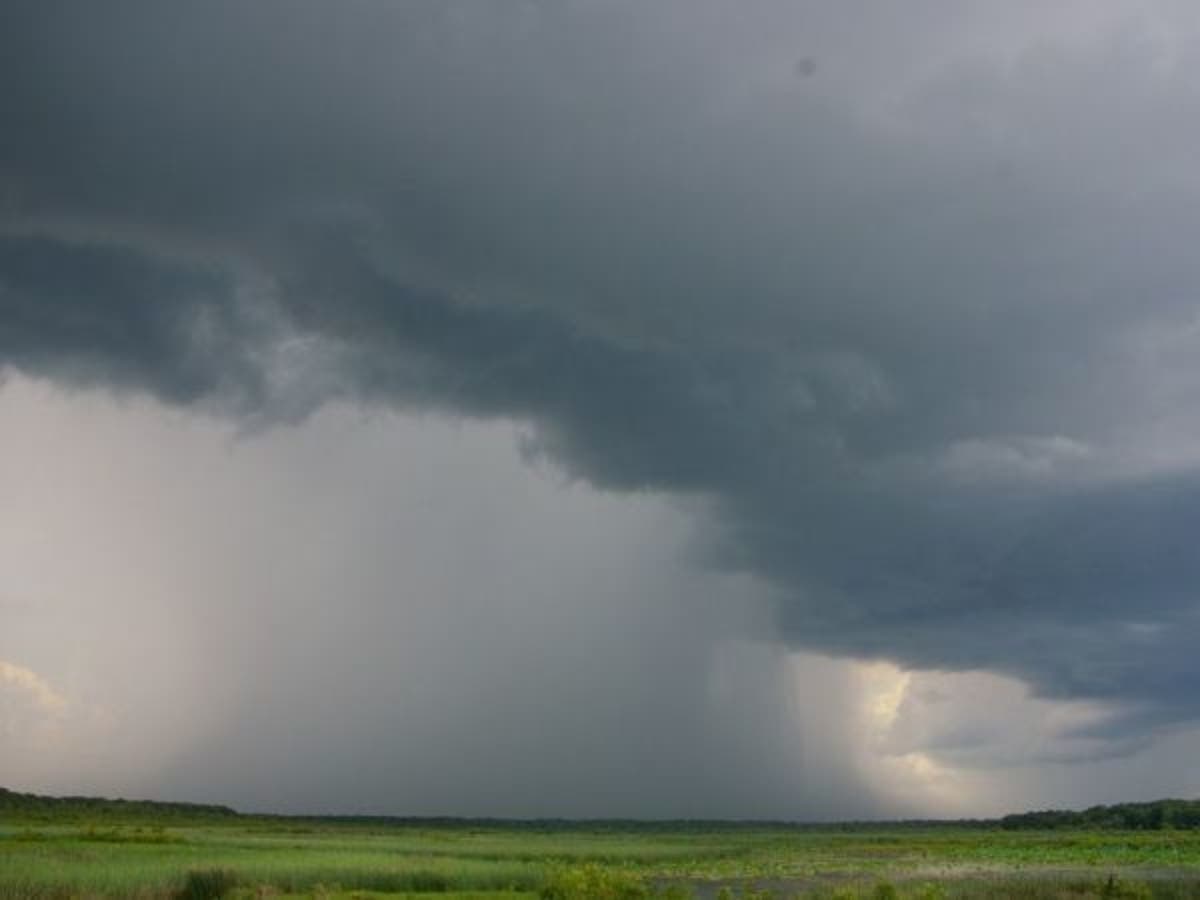
Heavy rain saturated the region Sunday afternoon, with more rainfall expected into the evening in the Baltimore-Washington metropolitan area, weather officials said. Isolated damaging wind gusts are possible on land and water, authorities advised.
Find out what's happening in Bel Airfor free with the latest updates from Patch.
Included in the flash flood watch are Anne Arundel, Baltimore, Carroll, Frederick, Harford, Howard, Montgomery and Prince George's counties, as well as the cities of Baltimore and the District of Columbia.
There's a flash flood warning until 8:15 p.m. for Harford County, where 2 to 3 inches of rain have already fallen and another 1 to 2 inches are possible.
Find out what's happening in Bel Airfor free with the latest updates from Patch.
"Flash flooding is expected to begin shortly," weather authorities said as of 5:18 p.m. in Harford County.
Aberdeen, Aberdeen Proving Ground, Carsins, Havre de Grace, Perryman and Riverside are expected to be affected.
During times when flash floods are possible, people should not drive through standing water. Turn around; don't drown.
File photo.
Get more local news delivered straight to your inbox. Sign up for free Patch newsletters and alerts.