Weather
Harford County Under Flood Warning
Harford County is under a flood warning Monday and flash flood watch until Wednesday morning, with rounds of rain in the forecast.


HARFORD COUNTY, MD — Parts of Harford and Baltimore counties are under a flood warning until 9:45 p.m. Weather officials say that 1 to 2 inches of rain may fall until then.
Radar showed heavy rain and isolated thunderstorms in the region before 6 p.m., according to the National Weather Service, which issued the flood warning. A flood warning means that flooding is imminent or occurring.
Weather officials say some locations that may experience flooding include Middle River, Aberdeen, Havre de Grace, Aberdeen Proving Ground, Millers Island, North Point State Park, Sparrows Point, Back River, Dundalk, Bel Air South, Essex, Parkville, Bel Air North, Carney,Perry Hall, Rosedale, Rossville, White Marsh, Fallston and Bowleys Quarters.
Find out what's happening in Bel Airfor free with the latest updates from Patch.
Those who come across water of unknown depth should turn around; don't drown.
Harford County and much of the Baltimore metro area are under a flash flood watch until 2 a.m. Wednesday, July 25.
Find out what's happening in Bel Airfor free with the latest updates from Patch.
Showers and thunderstorms will become more numerous Monday afternoon through the evening, with several rounds of torrential rain possible.
A flash flood watch means that there is the potential for flash flooding, which can be life-threatening. Heavy rain in a short time can lead to flash flooding, or a rapid rise in water level.
At 3:10 p.m., the National Weather Service reported strong thunderstorms were on a line from Jarrettsville to Bel Air North to Perryman, traveling north at 35 mph. Radar showed the storms may be accompanied by gusts of 40 to 50 mph and locally heavy rainfall.
Locations impacted include the following, according to weather officials: Middle River, Cockeysville, Aberdeen, Havre De Grace, Aberdeen Proving Ground, Bel Air South, Bel Air North, Carney, Perry Hall,
Rossville, Timonium, White Marsh, Fallston, Riverside, Hampton, Kingsville, Pleasant Hills, Jarrettsville, Perryman and Lutherville-Timonium.
Because the ground is already saturated from the weekend downpours, officials say heavy rain could lead to flash flooding.
Bel Air had received 2.19 inches of rain in the last 24 hours, based on preliminary data submitted to the National Weather Service as of 7 a.m. Monday, July 23. Darlington had 1.69 inches of rain.
Roads and poorly drained areas can quickly become inundated during a flash flood. Streams and creeks could leave their banks, flooding nearby properties. Residents should monitor the forecast and be prepared to take action if a flash flood warning is issued, according to the National Weather Service.
These counties are under the flash flood watch, in addition to Baltimore City:
- Anne Arundel
- Baltimore
- Calvert
- Carroll
- Charles
- Frederick
- Harford
- Howard
- Montgomery
- Prince George's
- St. Mary's
- Washington
(Get Patch news alerts, or like us on Facebook. Or get the free Patch iPhone app or Android app.)
See a map of the latest warnings and watches from the National Weather Service.
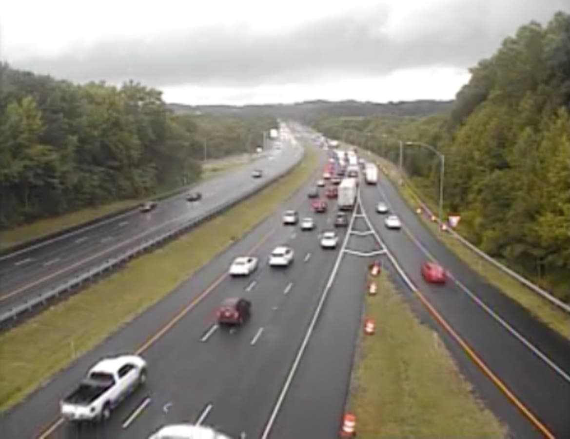
Still pictures from CHART traffic cameras on I-95 near MD 543 in Harford County at 2:45 p.m. and I-95 north of MD 152 at 3 p.m.
Get more local news delivered straight to your inbox. Sign up for free Patch newsletters and alerts.