Weather
MD Weather: Weekend Storms Flood Region
Weekend downpours have prompted the National Weather Service to issue flood warnings.


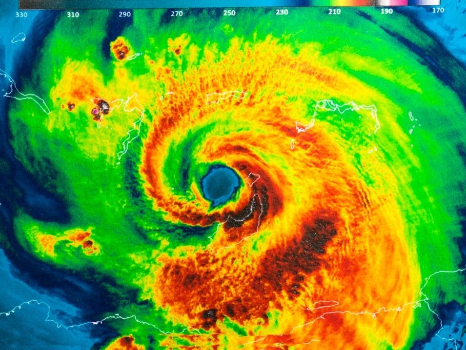
MARYLAND — Heavy rain could cause flash flooding across the state through Sunday morning, according to forecasters. Weather officials said 2 to 5 inches of rain with localized amounts of up to 7 inches were possible after steady downpours.
UPDATED: Preliminary Rainfall Totals Across Maryland From Saturday
Several roads closed due to flooding Sunday morning in parts of Anne Arundel and Prince George's counties, according to the National Weather Service, which said they were under a flood warning until 2:30 p.m.
Find out what's happening in Bel Airfor free with the latest updates from Patch.
The Western Branch in Upper Marlboro was above flood stage after 8 a.m. Sunday, and could flood Water Street, the pedestrian bridge and Race Track Road, weather officials said. Roads in Germantown, Silver Spring, Gaithersburg and Clarksburg also remained closed in Montgomery County.
- See a list of the latest road closures from state transportation officials.
Emergency personnel said there were calls for water rescues after vehicles became trapped in high water overnight Saturday in Anne Arundel, Baltimore and Montgomery counties, with multiple rescues around the Arbutus and Linthicum areas. There were nearly a dozen water rescues and a number of crashes in Montgomery County, where officials said dozens of basements flooded. Montgomery County had up to 3 inches of rain as of 9 p.m. Saturday, and weather officials advised another 1 to 3 inches could be coming.
Find out what's happening in Bel Airfor free with the latest updates from Patch.
Drivers who come upon flooded roads or those covered with water of unknown depth should turn around; don't drown.
- See a map of the latest warnings and watches from the National Weather Service.
PREVIOUS REPORT (Saturday): A flash flood warning is in effect for parts of Anne Arundel and Baltimore counties as well as Baltimore City until 2:30 a.m. Sunday, according to the National Weather Service.
Officials said that 3 to 5 inches of rain had fallen in the area by 11:30 p.m. Saturday, with 1 to 3 inches of additional rain expected.
"Flash flooding is expected to begin shortly," weather officials said in the warning issued at 11:26 p.m. Saturday.
A flash flood warning has been issued for Montgomery County until midnight, with weather officials stating the following areas are at risk: Germantown, Rockville, Bethesda, Gaithersburg, Olney, Damascus, Lowes Island, Aspen Hill, Potomac, North Bethesda, Montgomery Village, North Potomac, Redland, Great Falls, Chevy Chase, North Kensington, South Kensington, Forest Glen, North Chevy Chase and Wheaton-Glenmont.
Elsewhere, conditions may lead to flash flooding.
These Maryland jurisdictions are under a flash flood watch from 11 a.m. Saturday to 2 a.m. Sunday:
- Anne Arundel
- Baltimore
- Calvert
- Carroll
- Charles
- Frederick
- Harford
- Howard
- Montgomery
- Prince George's
- St. Mary's
- Washington
The District of Columbia and parts of Virginia are also under the flash flood watch.
A flash flood watch means that there is the potential for flash flooding, which can be life-threatening. Heavy rain in a short time can lead to flash flooding, or a rapid rise in water level.
Roads and poorly drained areas can quickly become inundated during a flash flood. Streams and creeks could leave their banks, flooding nearby properties. Residents should monitor the forecast and be prepared to take action if a flash flood warning is issued, according to the National Weather Service.
(Get Patch news alerts, or like us on Facebook. Or get the free Patch iPhone app or Android app.)
Forecasters advise conditions will be dangerous for swimmers and boaters. Rip currents may develop along the New Jersey and Delaware coasts, making conditions perilous for beachgoers.
There is a HIGH risk for the development of dangerous rip currents along the coasts of NJ and DE today. Follow the instructions of local beach patrols and stay out of the surf if requested to do so. Do not go into the surf if no life guards are present. Stay Safe. #njwx #dewx pic.twitter.com/FXoAu4Hpdu
— NWS Mount Holly (@NWS_MountHolly) July 21, 2018
There is a separate flash flood watch from 2 p.m. Saturday to 6 a.m. Sunday in the following jurisdictions:
- Caroline
- Cecil
- Kent
- Queen Anne's
- Talbot
- Delaware beaches
There is also a gale warning on the waters from 11 a.m. Saturday to 4 a.m. Sunday for the Chesapeake Bay and lower tidal Potomac River due to strong winds and gusty showers.
A gale warning means winds of 34 to 47 knots are imminent or occurring. Recreational boaters should not be out on the water during gale conditions.
Showers will move north across Delaware and northeastern Maryland Saturday, becoming steadier at times and possibly inundating roads and areas with poor drainage, according to weather officials.
Here is the forecast from the National Weather Service:
- Saturday: Rain. Heaviest early Saturday afternoon into evening. Thunder may occur. Wind gusts as high as 21 mph. Low 70s during the day with temps dropping to low 60s at night. Light drizzle overnight.
- Sunday: Cloudy. Chance of showers in the morning then showers and thunderstorms likely after 2 p.m. Light wind of 5 to 9 mph in the afternoon. High of 80 degrees and low of 73 degrees.
- Monday: Cloudy, with a chance of showers and thunderstorms. High in the low 80s, with temps dropping to the low 70s at night.
- Tuesday to Friday: Several rounds of showers and thunderstorms through Thursday night. Storms will happen during the warmest parts of the day, in the afternoon through early evening. Highs in the low 80s, with temps dropping to the low 70s at night.
Across Maryland, forecasters anticipated the following conditions:
- Heavy rain from Saturday afternoon through evening
- Rainfall amounts of 2 to 4 inches in a short period of time
- Heaviest rain on Interstate 95 corridor and east of I-95
- Strong winds on the water; gale warning issued
- High risk for rip currents
Graphics of rain forecast and flash flood watches and warnings via the National Weather Service.
Get more local news delivered straight to your inbox. Sign up for free Patch newsletters and alerts.