Weather
MD Weather: Frost Advisory Issued For Sunday A.M., Cover Your Plants
The National Weather Service has issued a frost advisory and a hazardous weather outlook for part of Maryland. Here's what you need to know.

MARYLAND — The National Weather Service has issued a hazardous weather outlook and a frost advisory for western and central Maryland.
In a statement for parts of Maryland the weather service said the frost advisory is in effect from midnight to 9 a.m. Sunday.
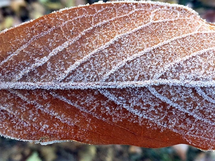
Temperatures will drop to 34 degrees, allowing frost to form in most of western, central, north central, and northern Maryland, northern and northwest Virginia, and all of the eastern panhandle of West Virginia.
Find out what's happening in Bel Airfor free with the latest updates from Patch.
"It'll be chilly tonight as temps drop to the 30s to low 40s. Freeze Warnings in effect for Allegheny Mountains & lower Shenandoah Valley, Frost Advisory for most others. Be sure to protect sensitive peoples/plants/pets from the cold," the weather service tweeted Saturday afternoon.
Frost could kill sensitive outdoor plants if left uncovered.
Find out what's happening in Bel Airfor free with the latest updates from Patch.
The frost advisory includes parts of Carroll, Baltimore, Allegany, Montgomery, Howard and Harford counties.
Cities in the advisory include Hagerstown, Frederick, Eldersburg, Westminster, Reisterstown, Cockeysville, Frostburg, Cumberland, Germantown, Damascus.

Here's the latest Maryland weather forecast:
Saturday Night: Mostly clear, with a low around 38. Northwest wind 5 to 8 mph becoming calm in the evening.
Sunday: Patchy frost before 8am. Otherwise, sunny, with a high near 60. West wind 5 to 10 mph, with gusts as high as 18 mph.
Sunday Night: Clear, with a low around 42. Calm wind.
Columbus Day: Sunny, with a high near 65. Calm wind becoming west around 5 mph in the afternoon.
Monday Night: Mostly clear, with a low around 44. Calm wind.
Get more local news delivered straight to your inbox. Sign up for free Patch newsletters and alerts.


