Weather
Severe Thunderstorm Warning Extended In Harford County
A severe thunderstorm warning has been extended in Harford County, and wind warnings are in effect on two bridges.


HARFORD COUNTY, MD — A severe thunderstorm warning has been issued for Harford County. The warning is in effect from 6:55 to 8:30 p.m. on Saturday, May 12. Earlier, it had been set to expire at 8 p.m.
There may be 60 mph wind gusts that could cause trees and large branches to fall. Quarter-sized hail is also possible, weather officials advised. Roads may become blocked by trees, unsecured objects could go flying and power outages are possible.
Weather officials say these areas may be impacted: Cockeysville, Westminster, Bel Air South, Bel Air North, Carney, Perry Hall, Mays Chapel, Timonium, Fallston, Taneytown, Hampstead, Hampton, Manchester, Kingsville, Pleasant Hills, Jarrettsville, Lutherville-Timonium, Lutherville, Pylesville and Darlington.
Find out what's happening in Bel Airfor free with the latest updates from Patch.
People in these areas should go inside immediately to stay safe from wind and lightning. Do not drive underneath trees or in wooded areas until the threat has passed, officials warn.
The severe thunderstorm warning applies to parts of Harford, Carroll and Baltimore counties.
Find out what's happening in Bel Airfor free with the latest updates from Patch.
Severe thunderstorms were located along a line from York Airport in Pennsylvania to near Lake Heritage and were moving east at 35 mph, the National Weather Service reported as of 7:04 p.m.
There is also a tornado watch effective until 1 a.m. on Sunday.
"Tornadoes can develop quickly from severe thunderstorms," the National Weather Service said in a severe weather statement issued after 7 p.m. "If you spot a tornado, go at once into the basement or small central room in a sturdy structure. Get indoors to protect yourself from wind and lightning. Trees around you may be downed from damaging winds, so if you are near large trees, move to an interior room on the lowest floor. Don't drive underneath trees or in wooded areas until the threat has passed."
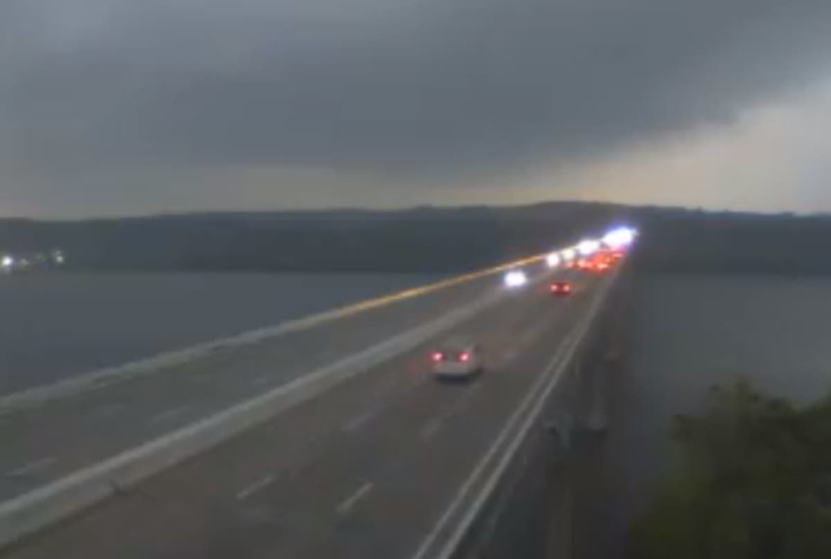
Wind warnings were in effect on the Tydings and Hatem bridges as of 7:51 p.m.
Winds of 30 to 39 mph trigger wind warnings, transportation officials say. Drivers of the following vehicles should use extra caution while crossing bridges during a wind warning: house trailers, box trailers, motorcycles, vehicles with roof-mount racks containing cargo or any other vehicle that may be subject to high winds.
RELATED: Tornado Watch Issued In Maryland; Severe Weather Expected
Image via Shutterstock. Image via CHART traffic camera on the Tydings Bridge as of 7:42 p.m. on Saturday, May 12.
Get more local news delivered straight to your inbox. Sign up for free Patch newsletters and alerts.