Weather
Flood Warning Issued For 2 Counties After Rapid Rainfall
The National Weather Service warns that roads may experience minor flooding Tuesday due to the rain.


A flood warning has been issued for parts of Harford and Baltimore counties. The National Weather Service issued the warning following afternoon thunderstorms, with more on the way.
The flood warning is in effect until 6:15 p.m. on Tuesday, July 17, and means that flooding is imminent or occurring.
The warning applies to central Harford County and southeastern Baltimore County, according to the weather service. There may be minor flooding in these areas, and officials warned most flood deaths occur in vehicles.
Find out what's happening in Bel Airfor free with the latest updates from Patch.
More Warnings:
- Severe Thunderstorm Warning Issued For Harford County Until 3:45 p.m.
- Flash Flood Warning Issued For Parts Of Baltimore Metro Until 6 p.m.
Up to 3 inches of rain was reported between Joppa and Bel Air by 2:17 p.m., and radar showed thunderstorms that would continue producing heavy rain in the region.
Find out what's happening in Bel Airfor free with the latest updates from Patch.
Weather officials said that 1 to 2 inches of rain could lead to minor floods.
"Despite recent dry conditions, this may be enough to produce minor flooding," according to the flood warning.
Drivers who come upon water of unknown depth should turn around; don't drown.
Locations that may experience flooding include the following, according to the National Weather Service: Middle River, Aberdeen, Dundalk, Bel Air South, Essex, Parkville, Carney, Perry Hall, Rosedale, Rossville, White Marsh, Riverside, Kingsville, Pleasant Hills, Perryman, Edgewood, Joppatowne, Nottingham, Carsins and Bradshaw.
PREVIOUS REPORT (1:30 p.m.) — A strong thunderstorm is headed for Harford County, according to the National Weather Service. Officials said that a strong thunderstorm was located over Kingsville just before 1:30 p.m. on Tuesday that was headed northeast.
Pea-sized hail may accompany the storm, weather officials said.
Locations that may be impacted by the thunderstorm include the following, the National Weather Service reported around 1:30 p.m.: Middle River, Bel Air South, Bel Air North, Carney, Perry Hall, Rossville, White Marsh, Fallston, Bowleys Quarters, Riverside, Kingsville, Pleasant Hills, Perryman, Edgewood, Joppatowne, Nottingham, Glen Arm, Fork, Long Green and Bradshaw.
Weather officials issued a hazardous weather outlook on Tuesday for much of the state, due to an isolated threat for flash flooding and damaging wind gusts from strong afternoon and evening thunderstorms.
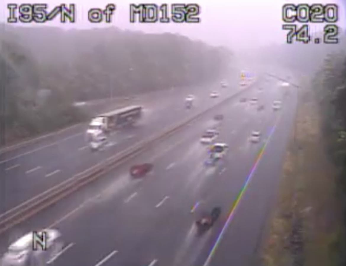
Still pictures from CHART traffic cameras near Joppa at 1:38 p.m.; near Abingdon at 1:50 p.m.; north of MD 152 at 2:44 p.m.
Get more local news delivered straight to your inbox. Sign up for free Patch newsletters and alerts.