Politics & Government
County's Flood Plain Maps Currently Under Review
Check to see if your flood risk has changed as Flood Insurance Rate Maps receive first update in 26 years.

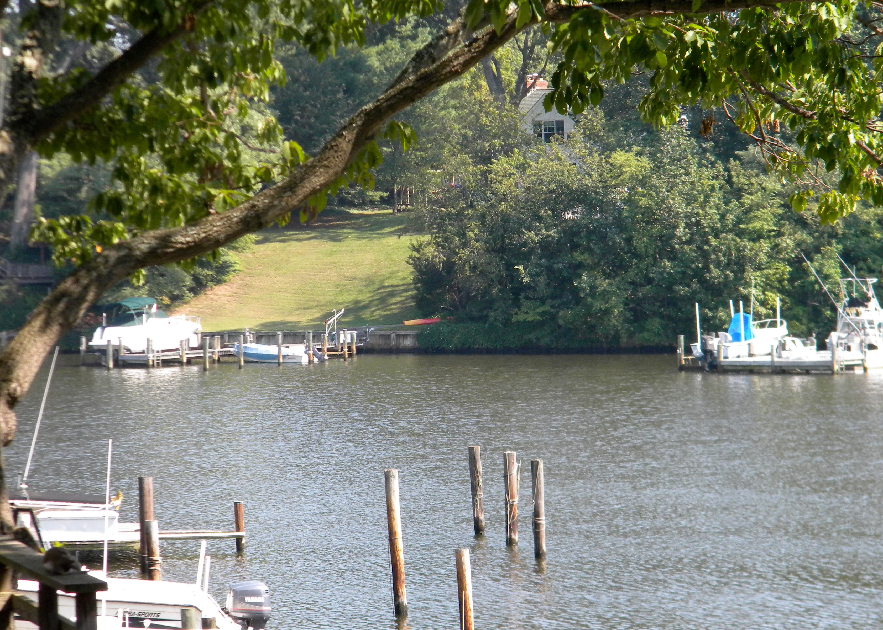
Flooding is a big worry for Broadneck residents who live on the water. Most people ease that worry by purchasing flood insurance, which uses county flood plain maps to determine rates. The Federal Emergency Management Agency (FEMA) is currently in the process of updating the flood plain maps in Anne Arundel County.
Preliminary flood plain maps can be found on FEMA's website and residents can make appeals during a 90-day review period by submitting data and documentation to the county that supports a claim that the maps are incorrect. Then, according to the county, FEMA will issue a Letter of Final Determination once all appeals have been addressed and the new flood plain maps will become effective. (See that attached PDF for more on this process.)
The last update to the Flood Insurance Rate Maps (FIRMs) for Anne Arundel County was completed in 1984 and 1985, according to a release from the county's Departments of Inspections and Permits, Public Works and the Office of Planning and Zoning.
Find out what's happening in Broadneckfor free with the latest updates from Patch.
Appeals must be submitted to:
Robert Hubbard
Director of the Department of Inspections & Permits
2664 Riva Road, MS 6201
Annapolis, MD 21401
For more information, contact Jay Leshinskie at 410-222-7700.
Find out what's happening in Broadneckfor free with the latest updates from Patch.
Get more local news delivered straight to your inbox. Sign up for free Patch newsletters and alerts.