Weather
Severe Thunderstorm Warning Issued For Howard County
A severe thunderstorm was detected by radar in Howard County Monday evening, the National Weather Service warned.

HOWARD COUNTY, MD — Strong thunderstorms are expected to impact parts of Howard, Baltimore and Carroll counties Monday night. Wind gusts of 40 to 50 mph may accompany the storms, weather officials said.
Locations that may be affected include Ellicott City, Eldersburg, Sykesville, Pikesville, Westminster, Woodlawn, Randallstown, Owings Mills, Milford Mill, Reisterstown, Lochearn, Mays Chapel, Oakland, Gamber, Garrison, Finksburg, Carrollton, Henryton, Winfield and Louisville.
Authorities said drivers should be alert for the potential of standing water and hydroplaning.
Find out what's happening in Columbiafor free with the latest updates from Patch.
Heavy rain accompanying the storms may cause small streams to overflow their banks, weather officials advised.
PREVIOUS ALERT (EXPIRED): The National Weather Service has issued a severe thunderstorm warning for parts of the Baltimore metropolitan area, including Howard County. A severe thunderstorm was located near Elkridge after 5:30 p.m., weather officials said.
Find out what's happening in Columbiafor free with the latest updates from Patch.
The severe thunderstorm warning is in effect until 6:15 p.m. for Howard, Anne Arundel, Baltimore and Montgomery counties.
Radar detected a severe thunderstorm over Savage-Guilford near Elkridge at 5:34 p.m., according to the National Weather Service. The storm may bring 60 mph wind gusts that could down large branches and trees.
Road may be blocked by downed fallen trees, unsecured objects may go flying and localized power outages are possible, according to weather officials.
Locations that may be impacted by the severe thunderstorm include Columbia, Severn, Elkridge, Riviera Beach, Baltimore-Washington Airport, Glen Burnie, Ellicott City, Catonsville, Woodlawn, Severna Park, Odenton, Laurel, Pasadena, Arbutus, Ferndale, Brooklyn Park, Fort Meade, Savage-Guilford, South Gate and Pumphrey.
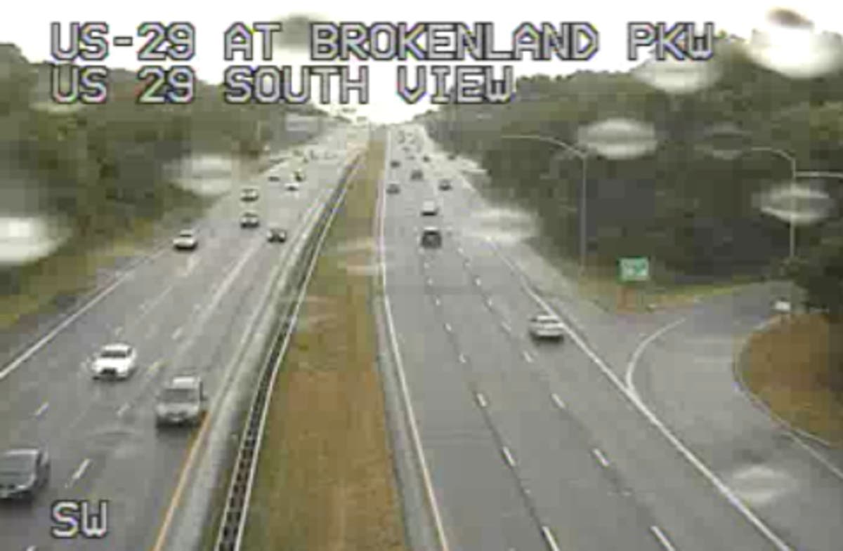
Still picture from US 29 at Broken Land Parkway via CHART traffic camera at 6:30 p.m. on Monday.
Get more local news delivered straight to your inbox. Sign up for free Patch newsletters and alerts.