Weather
Winter Storm Watch Issued For Maryland
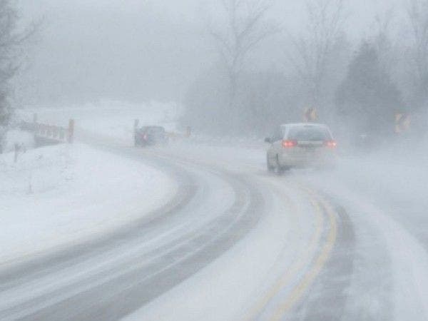
BREAKING: Heavy snow is expected, with weather officials forecasting impacts to travel and utilities.

BALTIMORE, MD — A winter storm watch has been issued for much of Maryland from 7 p.m. on Monday to 2 p.m. on Tuesday.
The National Weather Service issues a winter storm watch when there is the potential for significant snow, sleet or ice accumulation that could impact travel.
Snow is expected to start Monday evening and continue into Tuesday.
Find out what's happening in Columbiafor free with the latest updates from Patch.
Authorities said at least 5 inches of snow may fall in a 12-hour period — with significantly higher accumulations possible in some areas.
Heavy snow may make roads impassable and lead to power outages due to the weight of snow on tree limbs and power lines.
Find out what's happening in Columbiafor free with the latest updates from Patch.
The winter storm watch includes Anne Arundel, Baltimore, Carroll, Frederick, Harford, Howard, Montgomery and Prince George's counties as well as Baltimore City.
The District of Columbia and parts of Virginia are also under the winter storm watch, which runs from 7 p.m. on Monday, March 13, to 2 p.m. on Tuesday, March 14.
Winds are expected to be 10 to 15 mph with gusts up to 25 mph, and temperatures will be in the low 30s, according to the National Weather Service.
Cecil County is under a separate winter storm watch from 8 p.m. on Monday, March 13, to 8 p.m. on Tuesday, March 14.
That watch calls for accumulations greater than 6 inches and also includes parts of Pennsylvania, Delaware and the Eastern Shore of Maryland.
See Also: Nor'easter Could Bring Snow, High Winds By Monday Night
Patch file photo.
Get more local news delivered straight to your inbox. Sign up for free Patch newsletters and alerts.