Traffic & Transit
Drivers In Harford And Cecil Urged To Stay Home
BREAKING: People in Harford and Cecil counties are advised not to drive if they can help it Friday night due to traffic and closures.


Officials in Harford and Cecil counties are asking people to stay off the roads Friday night. Law enforcement from both jurisdictions asked drivers to stay at home if possible, due to deteriorating conditions.
"We know there are lines, trees and debris on roads," the Cecil County Sheriff advised. "Stay off roads."
In particular, authorities said the Conowingo Dam and US 40 were seeing major delays, after both the Hatem and Tydings bridges were closed because of high winds.
Find out what's happening in Havre de Gracefor free with the latest updates from Patch.
Traffic was also stacked up in the area of MD 155, since drivers were detoured there from Interstate 95 north.
"We are getting an influx of calls about the traffic on Route 40," the Havre de Grace Police Department reported. "Please stay at home if you can."
Find out what's happening in Havre de Gracefor free with the latest updates from Patch.
In Havre de Grace, police said Revolution Street was also closed at Juniata due to a downed power line.
Outage Information
Because of the number of residents whose power was out, the Harford County Department of Emergency Services was opening a shelter for people to keep warm.
The shelter at 2301 Carrs Mill Road in Fallston will open at 9 p.m. on Friday, according to Harford County Emergency Manager Rick Ayers.
Nearly 25,000 people are without power in Harford and Cecil counties as of 7:55 p.m.
According to Delmarva Power, more than 11,300 customers in Cecil County and more than 5,300 in Harford County were experiencing power outages.
BGE was reporting nearly 6,350 customers in Harford County had power outages too.
According to Cecil officials, law enforcement, firefighters and medical service providers were all out on calls after 6:30 p.m. on Friday.
"Reports are coming in from all over the state for down trees and utility poles blocking roads," the Havre de Grace Police Department advised. "If you are in your vehicle, please be patient; emergency workers are working as hard as they can to restore the roads and utilities."
State Of Emergency
Maryland Gov. Larry Hogan declared a state of emergency beginning Friday, March 2, in the wake of damaging winds resulting in power outages, downed trees and dangerous travel conditions across the state. The executive order will allow the state to coordinate support and help local jurisdictions. Dangerous conditions may continue throughout Saturday, March 3.
"I want to caution all Marylanders that these dangerously strong winds will continue this evening and into tomorrow. We are continuing to see a number of serious accidents on bridges and roadways, and power outages throughout the state," Hogan said. "Please use common sense, heed all warnings, and stay inside and off the roads if possible."
Amtrak service has been suspended between Washington, D.C. and Boston because of the fierce winds. Passengers with travel plans can confirm their train's status, change their plans or review refund information on Amtrak.com.
The Hatem and Tydings bridges remain closed due to high winds.
See the latest lane closure information from state transportation officials.
To report outages, here are the contacts:
Forecast: Windstorm Continues
The region is under a high wind warning until 6 a.m. on Saturday, March 3.
Gusts were between 40 and 60 mph after 6 p.m., according to the National Weather Service.
Weather officials issued the following special weather statement around 6:30 p.m.:
"This is a prolonged, high-impact windstorm for the region, with many downed trees and power lines. The duration of the winds will add to the hazardous nature of this event. While gusts will slowly diminish in intensity this weekend, they will remain around 40 mph Saturday. This will hamper the repair of power lines and tree removal.
"Travel is dangerous on the roads, especially for high profile vehicles. Be aware of rapidly changing road conditions due to the potential of downed trees and power lines. This is especially true after nightfall as you may quickly come up on an unseen tree across the road. The waters remain exceptionally hazardous as well.
"Pedestrians will also face very hazardous conditions, and need to be aware of wind-borne projectiles. People should avoid being outside in forested areas and around trees. If possible, remain in the lower levels of your homes during the windstorm, and avoid windows.
"Widespread power outages are occurring. If you use a portable generator, follow manufacturer`s instructions and do not operate it indoors or in your garage. Also, check on the safety and wellness of the elderly and physically challenged.
"A High Wind Warning is in effect for most of the area until 6 AM Saturday. This includes the greater metropolitan areas of Baltimore and Washington DC. A Storm Warning is in effect for the waters until 6 AM. The high winds are being created by an intense low pressure system offshore."
- Two Tractor Trailers Flip On Tydings Bridge In High Winds
- Hatem Bridge Reopens After Tree Falls Across Road
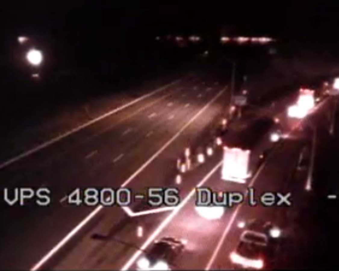
Image via CHART traffic cameras.
Get more local news delivered straight to your inbox. Sign up for free Patch newsletters and alerts.