Weather
Flood Warning In Effect For 6 Maryland Jurisdictions
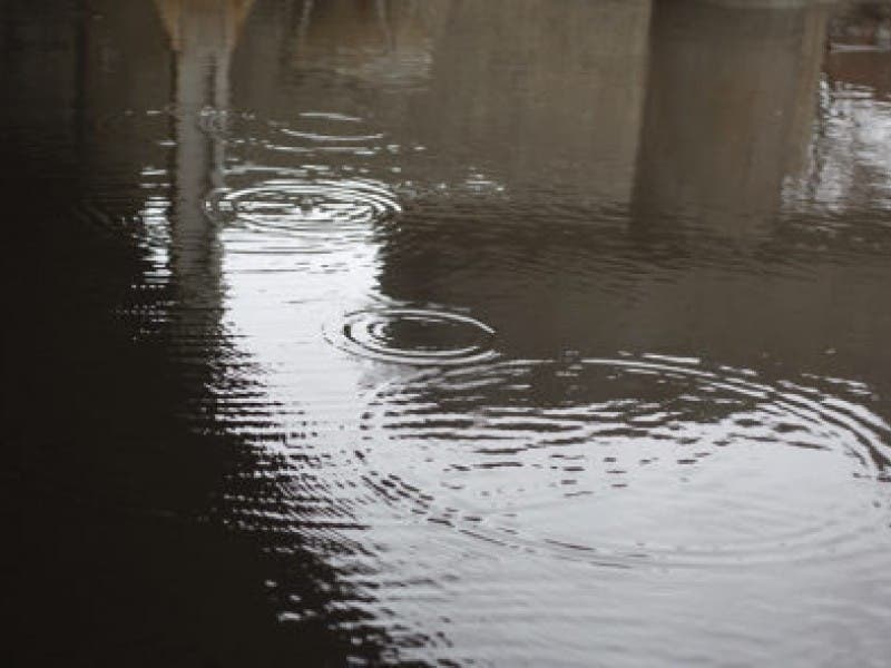
BREAKING: The National Weather Service warns that flooding is imminent or occurring.

BALTIMORE, MD — Part of Maryland is under a flood warning until 4 p.m. on Friday, May 5.
Up to 2 inches of rain had fallen across the region by 10 a.m., according to the National Weather Service, which advised streams were elevated and the rain was not over.
As a result, the weather service issued a flood warning — which means flooding is imminent or occurring — for Anne Arundel, Baltimore, Carroll, Harford and Howard counties as well as Baltimore City.
Find out what's happening in Havre de Gracefor free with the latest updates from Patch.
Small creeks and streams, urban areas, highways, streets, underpasses, drainage areas and other low-lying spots may experience flooding from runoff, officials said. Unusually high tides may contribute to minor flooding as well.
In the flood warning, the National Weather Service advised these areas would experience flooding: Baltimore, Columbia, Severn, Pikesville, Middle River, Cockeysville, Westminster, Elkridge, Aberdeen, Havre de Grace, Riviera Beach, Aberdeen Proving Ground, Baltimore-Washington Airport, Fort Smallwood State Park, Millers Island, North Point State Park, Sparrows Point, Back River, Glen Burnie and Ellicott City.
Find out what's happening in Havre de Gracefor free with the latest updates from Patch.
The flood warning comes after a severe thunderstorm warning was issued for the region; that warning expired at 10:15 a.m.
Image via Shutterstock.
Get more local news delivered straight to your inbox. Sign up for free Patch newsletters and alerts.