Community Corner
How to Read a Nautical Chart
The U.S. Coast Guard Auxiliary teaches this valuable course at the Maritime Museum.
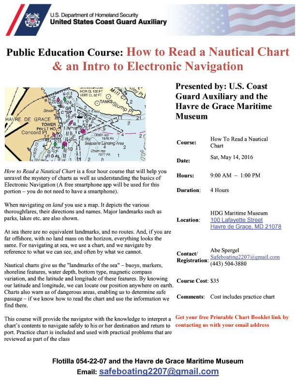
"How to Read a Nautical Chart" is a four-hour course that teaches you the basics of reading a nautical chart.
When navigating on land, you use a map. But when you are out at sea, there are no road signs or landmarks. This is why every boater needs to learn how to read a nautical chart, which will tell you how to spot buoys, markers, shoreline features, water depth, etc. in order to navigate your way safely to your destination. Please contact Abe for details: (443) 504-3880. Course cost is $35.