Community Corner
Weather Alert for Montgomery, DC Region for Wednesday
The National Weather Service expects a few strong thunderstorms capable of producing damaging wind gusts of up to 50 to 60 MPH.

Get your umbrellas and rain boots ready. The National Weather Service reports a strong cold front will affect the region Wednesday into early Thursday.
Weather Timeline
The potential exists for heavy rainfall and flooding in and around Montgomery County and the District of Columbia. Forecasters expect a few strong thunderstorms capable of producing damaging wind gusts of up to 50 to 60 MPH will be possible starting late morning Wednesday continuing through rush hour, with the heaviest of the rainfall tapering off Wednesday night. Expect light rain to continue through Thursday.
The Capital Weather Gang says: “The onset of rain in the immediate metro region is likely to between around 2 and 5 p.m. Wednesday’s rush hour could be a mess, with downpours, reduced visibility, and ponding of water on roadways.”
Find out what's happening in Montgomery Villagefor free with the latest updates from Patch.
Minor coastal flooding is likely along the western shore of the Chesapeake Bay and tidal Potomac River Wednesday into Thursday. Moderate coastal flooding is also possible at sensitive sites Wednesday and Wednesday night.
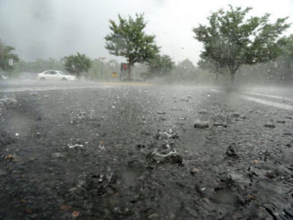
»PHOTO: Patch archive photo
Find out what's happening in Montgomery Villagefor free with the latest updates from Patch.
Get more local news delivered straight to your inbox. Sign up for free Patch newsletters and alerts.