Politics & Government
Future of WB&A Trail Moves to the Forefront
An area blogger and trail advocate has weighed in on plans for a connection of the WB&A Trail into Prince George's County.


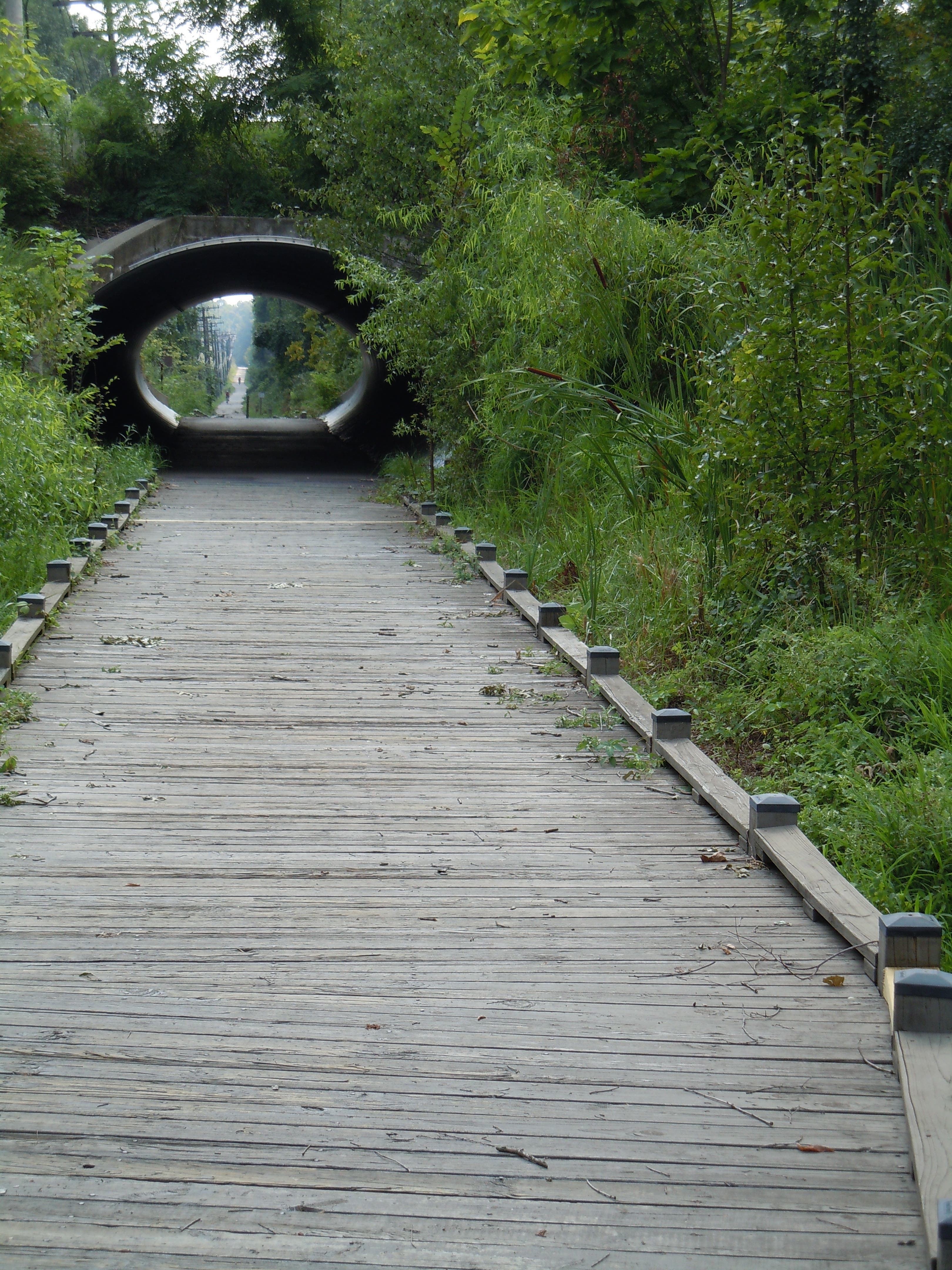

Anne Arundel County has been seeking feedback from residents on its long-term plan for recreation areas and parks. During recent public meetings, county officials have said they hope to complete two major trails that begin in Odenton: the WB&A Trail and the South Shore Trail.
This is good news to area residents who enjoy the local trail network. But there remain big questions about how the projects will move forward.
The status of the WB&A Trail was the subject this week of a lengthy blog entry written by Jim Titus, who represents Prince George’s County on the Maryland's Bicycle and Pedestrian Advisory Committee, and serves on the board of directors of the Washington Area Bicyclist Association.
Find out what's happening in Odenton-Severnfor free with the latest updates from Patch.
In a recent entry on the Greater Greater Washington blog, he writes that the state of Maryland is moving forward with a connector project that is longer and more expensive than necessary.
Some background:
Find out what's happening in Odenton-Severnfor free with the latest updates from Patch.
The WB&A Trail begins at the corner of Odenton Road and Piney Orchard Parkway, and stretches down to Patuxent Road. It then stops just north of the Patuxent River and is picked up in Prince George’s County, where it eventually stops in Lanham. Connecting the two trail sections is now a priority for both the county and state, and would be completed as part of the construction of the Preserve at Two Rivers, a 55-and-over community to be built in the south end of Odenton.
In his blog entry, Titus contends that while the county and state could connect the trail with a direct path costing only $3 million, the county has advocated for a longer, more circuitous route with a price tag of about $6 million.
Titus wrote:
“Why does Anne Arundel County prefer a costly detour that seriously degrades the quality of the trail? I have been unable to find any official willing to offer a clear rationale.'"
According to Titus, decisions regarding the outline of the trail were made many years ago, before current county and state planning officials were even in office. Furthermore, plans for the detour were made partially due to the concerns of Russell Gordon “Buz” Meyer, who owned much of the nearby land and used it for hunting.
Meyer recently passed away. Titus wrote that Meyer's son, Andrew, would not oppose a more direct trail route that is adjacent to his property. Andrew Meyer told Odenton Patch that he made no such statement.
(Editor's note: Titus updated his entry with a lengthy comment following a conversation with Andrew Meyer.)
Aside from cost, what would be the advantage of the more direct route? Titus argues that it would be better for those wishing to use the trail for commuting to work at places such as Fort Meade.
But Ken Alban, chief of capital projects for the county department of rec and parks, said it's not clear that the trail would be used frequently for that purpose.
"Mr. Alban asked me why cyclists would want this more direct route. I told him it would allow people to arrive at their destination 10 minutes sooner. He told me he was surprised: ‘No one has ever suggested to me that this trail will be used for transportation,’ he said. ‘I doubt that people will use this trail for commuting.’"
No matter what path is selected, it may be years before construction of the trail extension begins, due to a potentially lengthy permitting process. But the public has the chance to weigh in now on the issue by contacting the Anne Arundel County Department of Recreation and Parks. The county already held a public meeting regarding its long-term plans for the western side of the county, but is available for review, and officials are seeking additional comments.
Get more local news delivered straight to your inbox. Sign up for free Patch newsletters and alerts.