Community Corner
Arctic Blast in Owings Mills, Reisterstown Forecast this Week
Temperatures are going to drop fast, reaching dangerous wind chills by midweek.

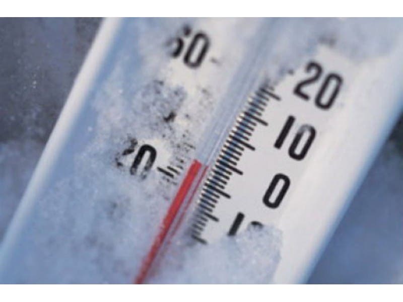
Owings Mills and Reisterstown residents woke up to temps in the upper 30s Monday morning, but the mercury will plummet quickly.
Strong winds, snow showers and below-freezing temperatures are on the way, according to the National Weather Service.
- Monday: A gale warning is in effect for the Chesapeake Bay, and winds may gust up to 38 mph, according to the National Weather Service. Monday’s low is 21 degrees, with a slight chance of snow showers.
- Tuesday: Between 1 to 3 inches of snow is projected to accumulate before noon, so the National Weather Service issued a hazardous weather outlook for the Baltimore-Washington area. High temperature of 31 degrees; low of 19.
- Wednesday: Blustery, with wind gusts up to 32 mph. High of 25; low of 10 degrees.
- Thursday: High near 20; low of 18 degrees.
- Friday: High of 31; low of 13 degrees.
See the complete seven-day forecast for Owings Mills and Reisterstown from the National Weather Service.
Find out what's happening in Owings Mills-Reisterstownfor free with the latest updates from Patch.
Get more local news delivered straight to your inbox. Sign up for free Patch newsletters and alerts.