Weather
Severe Thunderstorm Warning Issued For 3 Counties
The warning calls for 60 mph winds and has prompted the National Weather Service to advise people to stay indoors: BREAKING.

BALTIMORE, MD - The National Weather Service has issued a severe thunderstorm warning for several areas, including parts of Baltimore, Carroll and Harford counties.
The severe thunderstorm warning is in effect until 9:15 p.m. on Monday, July 24. It calls for 60 mph wind gusts and quarter-sized hail.
At 8:25 p.m., weather officials said that radar indicated a severe thunderstorm was located west of Pikesville and was moving east at 20 mph.
Find out what's happening in Owings Mills-Reisterstownfor free with the latest updates from Patch.
Trees may fall from damaging winds, causing power outages and road blocks. Weather experts advise staying inside away from wind and lightning. Drivers should avoid wooded areas and passing underneath trees until the warning period is over. People inside should move to an interior room on the lowest floor away from trees.
Possible locations impacted include Baltimore, Pikesville, Cockeysville, Towson, Randallstown, Parkville, Owings Mills, Eldersburg, Carney, Milford Mill, Reisterstown, Lochearn, Mays Chapel, Timonium, Fallston, Hampton, Jarrettsville, Oakland, Gamber and Lutherville-Timonium, according to the warning.
Find out what's happening in Owings Mills-Reisterstownfor free with the latest updates from Patch.
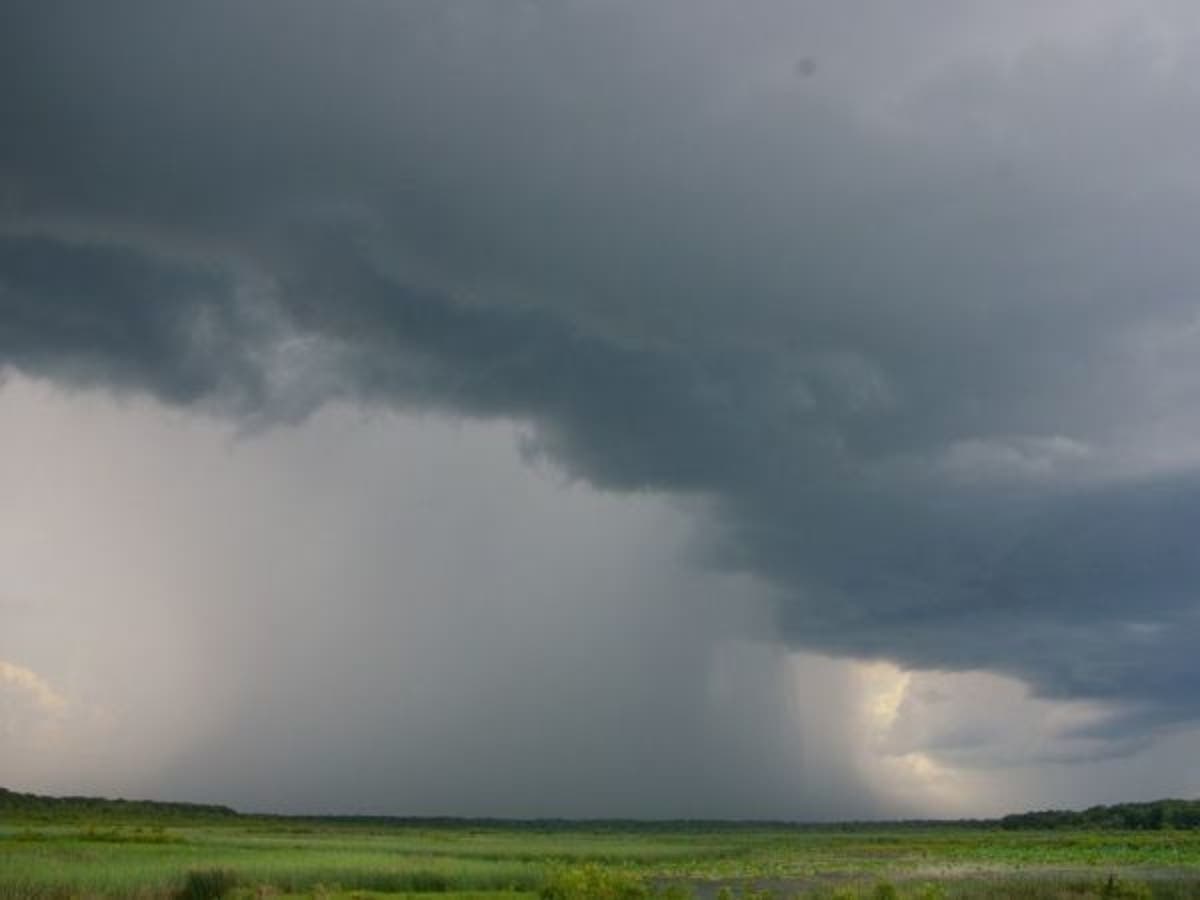
Patch file photo.
Get more local news delivered straight to your inbox. Sign up for free Patch newsletters and alerts.