Weather
Severe Thunderstorm Warning Issued For Baltimore Area
BREAKING: The National Weather Service has issued a severe thunderstorm warning for Baltimore County and Baltimore City.

The National Weather Service has issued a severe thunderstorm warning for Baltimore City and Baltimore County. The warning is in effect until 7:30 p.m. on Wednesday, Sept. 26.
Radar showed a storm at 6:41 p.m. located over Lochearn near Pikesville that was moving east at 30 mph, weather officials said. There may be 60 mph wind gusts, causing trees and large branches to fall. Localized power outages are possible, and unsecured objects may become projectiles.
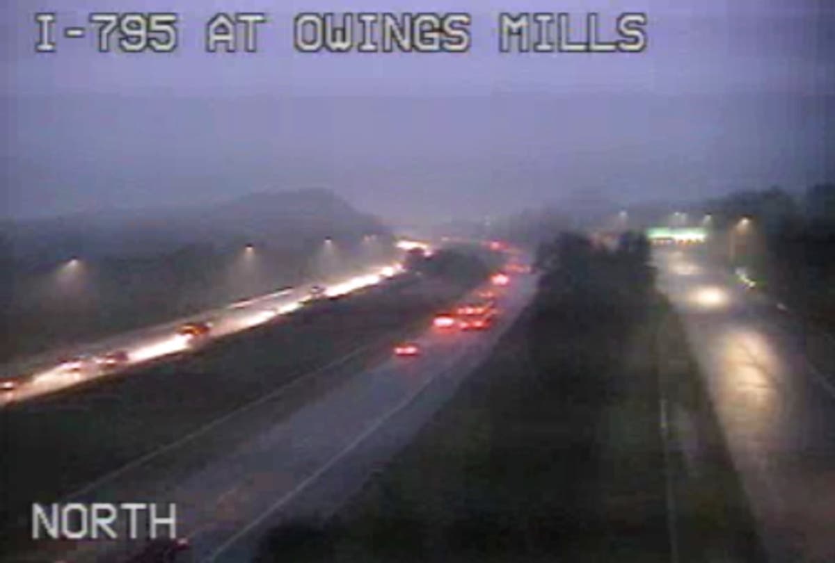
These areas may be impacted, weather officials said: Baltimore, Pikesville, Middle River, Millers Island, North Point State Park, Back River, Dundalk, Towson, Essex, Woodlawn, Randallstown, Parkville, Owings Mills, Carney, Milford Mill, Perry Hall, Lochearn, Arbutus, Rosedale and Rossville.
Find out what's happening in Owings Mills-Reisterstownfor free with the latest updates from Patch.
During the severe thunderstorm warning period, people should go inside to stay safe from wind and lightning.
Do not drive underneath wooded areas until the threat has passed, as trees and branches may fall. Roads may become blocked by downed trees, and localized power outages are possible, according to the warning.
Find out what's happening in Owings Mills-Reisterstownfor free with the latest updates from Patch.
A severe thunderstorm watch is in effect until 11 p.m. Wednesday.
RELATED: Severe Thunderstorm Watch Issued For 15 Counties Plus Baltimore
Image via CHART.
Get more local news delivered straight to your inbox. Sign up for free Patch newsletters and alerts.