Weather
Severe Thunderstorm Warning Issued For Maryland, Plus Flood Watch
BREAKING: A severe thunderstorm warning has been issued for parts of Maryland Friday afternoon, along with a flood watch.

BALTIMORE, MD (Updated at 5:05 p.m.) - Parts of the region are under severe thunderstorm and flash flood warnings Friday evening. The National Weather Service issued the severe thunderstorm warning for Anne Arundel, Howard, Montgomery, and Prince George's counties until 6:45 p.m.
At 5:32 p.m., severe thunderstorms were located along a line extending from near Savage-Guilford to Forest Glen, moving east at 25 mph. Forecasters warned of 60 mph wind gusts from the storms. Damaging winds will cause some trees and large branches to fall. This could injure those outdoors, as well as damage homes and vehicles. Roadways may become blocked by downed trees. Localized power outages are possible, says the weather service.
Locations affected by the warning include: Columbia, Bowie, Severn, Annapolis, College Park, Crofton, Greenbelt, Langley Park, Beltsville, Elkridge, Riviera Beach, Naval Academy, Baltimore-Washington Airport, Fort Smallwood State Park, Gibson Island, Bodkin Point, Sillery Bay, Pinehurst, Glen Burnie and Severna Park.
Find out what's happening in Perry Hallfor free with the latest updates from Patch.
Stay inside and away from wooded areas if a severe thunderstorm hits and avoid driving through water on flooded roadways, according to the National Weather Service.
Flash Flood Warning including Bel Air MD, Fallston MD, Jarrettsville MD until 9:15 PM EDT pic.twitter.com/N8CBgBlFoM
— NWS DC/Baltimore (@NWS_BaltWash) August 18, 2017
The severe thunderstorm warning calls for winds up to 60 mph as well as penny-sized hail in Harford, Baltimore, Charles and Howard counties.
Find out what's happening in Perry Hallfor free with the latest updates from Patch.
Severe Thunderstorm Warning including La Plata MD, Pomfret MD, Port Tobacco MD until 6:15 PM EDT pic.twitter.com/u6wm8ZhMsq
— NWS DC/Baltimore (@NWS_BaltWash) August 18, 2017
Flash Flood Warning including Columbia MD, Ellicott City MD, Catonsville MD until 8:00 PM EDT pic.twitter.com/LN1t1H85O3
— NWS DC/Baltimore (@NWS_BaltWash) August 18, 2017
Severe Thunderstorm Warning including Aberdeen MD, Havre de Grace MD, Bel Air MD until 5:30 PM EDT pic.twitter.com/z9FWqQCiWT
— NWS DC/Baltimore (@NWS_BaltWash) August 18, 2017
At 2:25 p.m. the National Weather Service issued a thunderstorm watch, which is in effect until 9 p.m. for Anne Arundel, Baltimore, Calvert, Caroline, Carroll, Cecil, Charles, Dorchester, Frederick, Harford, Howard, Kent, Montgomery, Prince George's, Queen Anne's, Somerset, St. Marys, Talbot, Washington, Wicomico and Worcester counties, plus Baltimore City.
Large hail and damaging wind gusts are possible during the severe thunderstorm watch period.
While the severe thunderstorm watch ends at 9 p.m. on Friday, the flash flood watch continues overnight.
During a flash flood watch, conditions may occur that could lead to flash flooding. Heavy rain is expected in the afternoon across the region, with the National Weather Service calling for several inches of precipitation over the course of an hour or two in some areas.
With soil already saturated, runoff is likely in the Baltimore-Washington metro area, weather officials said, and streams and creeks may overflow their banks. On the Eastern Shore, up to 6 inches of rain are in the forecast; that part of the state is under a separate weather watch.
A flash flood watch is effective for these areas from 2 p.m. on Friday, Aug. 18, to 2 a.m. on Saturday, Aug. 19:
- Anne Arundel County
- Baltimore City
- Baltimore County
- Calvert County
- Carroll County
- Charles County
- Frederick County
- Harford County
- Howard County
- Montgomery County
- Prince George's County
- St. Mary's County
- Parts of Virginia and Washington, D.C.
Low-lying spaces and urban areas will be the most likely to flood, according to the weather service.
Caroline, Cecil, Kent, Queen Anne's and Talbot counties are under a separate flash flood watch until midnight calling for torrential rain that may make roads dangerous, with 3 to 6 inches of rainfall predicted.
A severe thunderstorm warning was in effect until 6:15 p.m. for La Plata, Pomfret and Port Tobacco.
The flash flood alerts come on top of a heat advisory, effective from 11 a.m. to 8 p.m. on Friday, Aug. 18.
SIGN UP: Get Patch’s daily newsletter and real-time news alerts, or like us on Facebook. Or, if you have an iPhone, download the free Patch app.
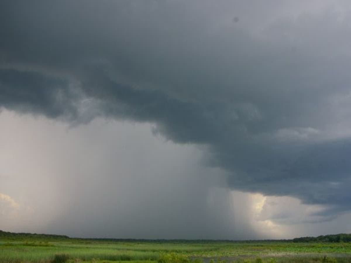
File photo.
Get more local news delivered straight to your inbox. Sign up for free Patch newsletters and alerts.